Earthquake 79 km NE of Tonopah, Nevada
Sun, 01 Mar 2026 17:21:28 GMT
Time1 hour ago
Location
38.4769, -116.4799
Depth
0.6 KM
Event Summary
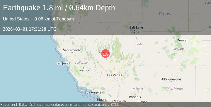
A 1.8 magnitude earthquake struck on 79 km NE of Tonopah, Nevada, at Sun, 01 Mar 2026 17:21:28 GMT. Depth: 0.6429km. Reviewed by USGS seismologists, this minor quake occurred at a magnitude type of ml.
Magnitude
1.8
ml
Source
USGS
Intensity
-
Agency Reports
1 Sources| Source | Magnitude | Depth | Time |
|---|---|---|---|
| USGSPrimary | 1.8 | 1 km | 1 hour ago |
Earthquake Details
AutomaticEvent IDusgs_nn00911497
Tsunami PotentialNo
Magnitude Typeml
Nearest Places
- 3.2 km
- 4.3 km
- 5.9 km
- 6.1 km
- 6.2 km
Comments
Join the discussion about this event.
Latest Earthquakes
1.3Mag
14 km NW of Pinnacles, CA
Time3 minutes ago
Depth5.93 km
SourceUSGS (Automatic)
1.7Mag
79 km NE of Tonopah, Nevada
Time4 minutes ago
Depth0.04 km
SourceUSGS (Automatic)
2.0Mag
western Texas
Time7 minutes ago
Depth7.45 km
SourceVYT (Automatic)
1.8Mag
Northern Territory, Australia
Time10 minutes ago
Depth414.67 km
SourceVYT (Automatic)
2.4Mag
Java, Indonesia
Time17 minutes ago
Depth31.71 km
SourceBMKG
Nearby Earthquakes
1.7Mag
79 km NE of Tonopah, Nevada
Time10 hours ago
Depth7.14 km
SourceUSGS (Automatic)
1.7Mag
79 km NE of Tonopah, Nevada
Time4 minutes ago
Depth0.04 km
SourceUSGS (Automatic)
2.2Mag
80 km NE of Tonopah, Nevada
Time16 hours ago
Depth4.77 km
SourceUSGS (Automatic)
1.8Mag
79 km NE of Tonopah, Nevada
Time1 hour ago
Depth8.12 km
SourceUSGS (Automatic)
3.5Mag
NEVADA
Time19 minutes ago
Depth5.60 km
SourceNN (Automatic)