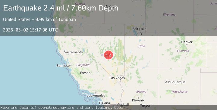
Earthquake 90 km NE of Tonopah, Nevada
Mon, 02 Mar 2026 15:17:00 GMT
Time4 hours ago
Location
38.5402, -116.3935
Depth
7.6 KM
Event Summary
A 2.4 magnitude earthquake struck on 90 km NE of Tonopah, Nevada, at Mon, 02 Mar 2026 15:17:00 GMT. Depth: 7.569km. Reviewed by USGS seismologists, this minor quake occurred at a magnitude type of ml.
Magnitude
2.4
ml
Source
USGS
Intensity
-
Agency Reports
1 Sources| Source | Magnitude | Depth | Time |
|---|---|---|---|
| USGSPrimary | 2.4 | 8 km | 4 hours ago |
Earthquake Details
AutomaticEvent IDusgs_nn00911631
Tsunami PotentialNo
Magnitude Typeml
Nearest Places
- 1.1 km
- 1.5 km
- 1.9 km
- 2.7 km
- 3.2 km
Comments
Join the discussion about this event.
Latest Earthquakes
3.5Mag
Central California
Time4 hours ago
Depth10.00 km
SourceVYT (Automatic)
1.9Mag
Poland
Time4 hours ago
Depth5.62 km
SourceVYT (Automatic)
4.4Mag
Rat Islands, Aleutian Islands, Alaska
Time4 hours ago
Depth10.00 km
SourceVYT (Automatic)
3.4Mag
offshore Coquimbo, Chile
Time4 hours ago
Depth0.00 km
SourceVYT (Automatic)
3.5Mag
AEGEAN SEA
Time4 hours ago
Depth19.00 km
SourceTHE (Automatic)
Nearby Earthquakes
2.1Mag
89 km NE of Tonopah, Nevada
Time18 hours ago
Depth15.98 km
SourceUSGS (Automatic)
1.6Mag
89 km NE of Tonopah, Nevada
Time2 days ago
Depth6.40 km
SourceUSGS (Automatic)
1.8Mag
92 km NE of Tonopah, Nevada
Time1 day ago
Depth15.93 km
SourceUSGS (Automatic)
1.5Mag
87 km NE of Tonopah, Nevada
Time2 days ago
Depth7.36 km
SourceUSGS (Automatic)
2.8Mag
NEVADA
Time2 months ago
Depth7.00 km
SourceNEIC (Automatic)