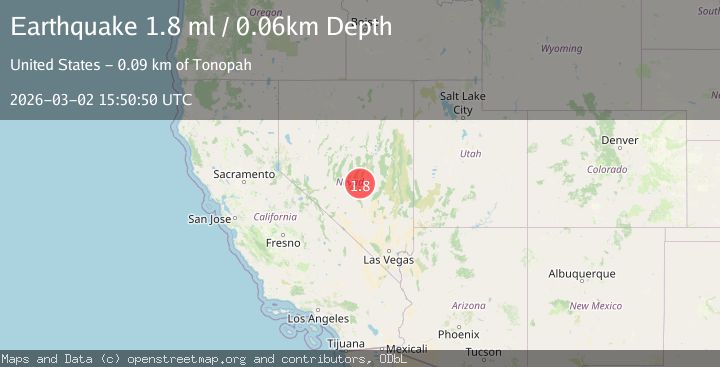
Earthquake 88 km NE of Tonopah, Nevada
Mon, 02 Mar 2026 15:50:50 GMT
Time2 days ago
Location
38.5156, -116.3899
Depth
0.1 KM
Event Summary
A 1.8 magnitude earthquake struck on 88 km NE of Tonopah, Nevada, at Mon, 02 Mar 2026 15:50:50 GMT. Depth: 0.0602km. Reviewed by USGS seismologists, this minor quake occurred at a magnitude type of ml.
Magnitude
1.8
ml
Source
USGS
Intensity
-
Agency Reports
1 Sources| Source | Magnitude | Depth | Time |
|---|---|---|---|
| USGSPrimary | 1.8 | 0 km | 2 days ago |
Earthquake Details
AutomaticEvent IDusgs_nn00911633
Tsunami PotentialNo
Magnitude Typeml
Nearest Places
- 1.7 km
- 1.7 km
- 1.8 km
- 1.9 km
- 2.0 km
Comments
Join the discussion about this event.
Latest Earthquakes
1.7Mag
NORTHERN ITALY
Time2 minutes ago
Depth10.00 km
SourceOGS (Automatic)
2.3Mag
Antofagasta, Chile
Time3 minutes ago
Depth0.00 km
SourceVYT (Automatic)
2.4Mag
Seram, Indonesia
Time3 minutes ago
Depth10.00 km
SourceBMKG
2.4Mag
Antofagasta, Chile
Time8 minutes ago
Depth109.01 km
SourceVYT (Automatic)
1.1Mag
13 km WSW of Stanton, Texas
Time10 minutes ago
Depth4.13 km
SourceUSGS (Automatic)
Nearby Earthquakes
1.6Mag
87 km NE of Tonopah, Nevada
Time4 days ago
Depth0.00 km
SourceUSGS (Automatic)
1.6Mag
87 km NE of Tonopah, Nevada
Time2 hours ago
Depth7.72 km
SourceUSGS (Automatic)
1.6Mag
89 km NE of Tonopah, Nevada
Time4 days ago
Depth6.40 km
SourceUSGS (Automatic)
1.5Mag
87 km NE of Tonopah, Nevada
Time4 days ago
Depth7.36 km
SourceUSGS (Automatic)
2.1Mag
89 km NE of Tonopah, Nevada
Time2 days ago
Depth15.98 km
SourceUSGS (Automatic)