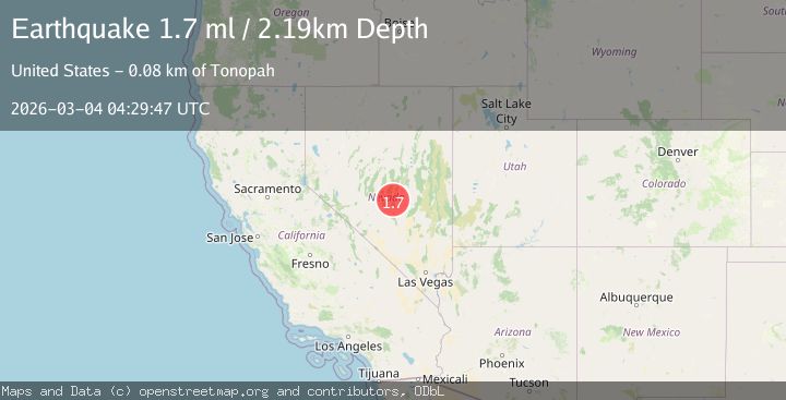
Earthquake 83 km NE of Tonopah, Nevada
Wed, 04 Mar 2026 04:29:47 GMT
Time1 hour ago
Location
38.4953, -116.4513
Depth
2.2 KM
Event Summary
A 1.7 magnitude earthquake struck on 83 km NE of Tonopah, Nevada, at Wed, 04 Mar 2026 04:29:47 GMT. Depth: 2.1941km. Reviewed by USGS seismologists, this minor quake occurred at a magnitude type of ml.
Magnitude
1.7
ml
Source
USGS
Intensity
-
Agency Reports
1 Sources| Source | Magnitude | Depth | Time |
|---|---|---|---|
| USGSPrimary | 1.7 | 2 km | 1 hour ago |
Earthquake Details
AutomaticEvent IDusgs_nn00911889
Tsunami PotentialNo
Magnitude Typeml
Nearest Places
- 3.9 km
- 3.9 km
- 4.2 km
- 4.3 km
- 4.3 km
Comments
Join the discussion about this event.
Latest Earthquakes
3.7Mag
Kepulauan Sula, Indonesia
Time57 minutes ago
Depth10.00 km
SourceVYT (Automatic)
1.2Mag
western Texas
Time57 minutes ago
Depth16.24 km
SourceVYT (Automatic)
2.9Mag
Coquimbo, Chile
Time59 minutes ago
Depth111.57 km
SourceVYT (Automatic)
1.3Mag
10 km WSW of Stanton, Texas
Time1 hour ago
Depth4.05 km
SourceUSGS (Automatic)
2.3Mag
northern Alaska
Time1 hour ago
Depth5.62 km
SourceVYT (Automatic)
Nearby Earthquakes
1.9Mag
82 km NE of Tonopah, Nevada
Time1 month ago
Depth2.10 km
SourceUSGS (Automatic)
2.0Mag
NEVADA
Time2 days ago
Depth1.50 km
SourceNN (Automatic)
3.1Mag
82 km NE of Tonopah, Nevada
Time3 days ago
Depth6.25 km
SourceUSGS (Automatic)
1.8Mag
81 km NE of Tonopah, Nevada
Time2 days ago
Depth0.06 km
SourceUSGS (Automatic)
3.3Mag
82 km NE of Tonopah, Nevada
Time3 days ago
Depth10.15 km
SourceUSGS (Automatic)