Earthquake 12 km NE of Tecopa, California
Wed, 04 Mar 2026 18:59:14 GMT
Time1 hour ago
Location
35.9338, -116.1413
Depth
0.0 KM
Event Summary
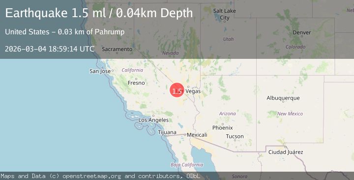
A 1.5 magnitude earthquake struck on 12 km NE of Tecopa, California, at Wed, 04 Mar 2026 18:59:14 GMT. Depth: 0.0441km. Reviewed by USGS seismologists, this minor quake occurred at a magnitude type of ml.
Magnitude
1.5
ml
Source
USGS
Intensity
-
Agency Reports
1 Sources| Source | Magnitude | Depth | Time |
|---|---|---|---|
| USGSPrimary | 1.5 | 0 km | 1 hour ago |
Earthquake Details
AutomaticEvent IDusgs_nn00911975
Tsunami PotentialNo
Magnitude Typeml
Nearest Places
- 4.6 km
- 6.3 km
- 6.4 km
- 8.2 km
- 9.1 km
Comments
Join the discussion about this event.
Latest Earthquakes
2.9Mag
Maine
Time1 hour ago
Depth256.47 km
SourceVYT (Automatic)
2.0Mag
Southern California
Time1 hour ago
Depth0.00 km
SourceVYT (Automatic)
2.3Mag
Southern Alaska
Time1 hour ago
Depth20.02 km
SourceVYT (Automatic)
5.4Mag
OFFSHORE EL SALVADOR
Time1 hour ago
Depth73.60 km
SourceGFZ (Automatic)
2.3Mag
Flores region, Indonesia
Time1 hour ago
Depth0.61 km
SourceVYT (Automatic)
Nearby Earthquakes
1.5Mag
2 km SE of Tecopa, California
Time1 day ago
Depth9.56 km
SourceUSGS (Automatic)
2.8Mag
SOUTHERN CALIFORNIA
Time1 month ago
Depth16.00 km
SourceNN (Automatic)
2.1Mag
Southern California
Time1 week ago
Depth8.54 km
SourceVYT (Automatic)
3.0Mag
SOUTHERN CALIFORNIA
Time9 years ago
Depth3.00 km
SourceNEIC (Automatic)
3.0Mag
SOUTHERN CALIFORNIA
Time11 years ago
Depth4.00 km
SourceNEIR (Automatic)