Earthquake 56 km N of Cruz Bay, U.S. Virgin Islands
Wed, 21 Jan 2026 01:35:31 GMT
Time6 days ago
Location
18.8392, -64.8020
Depth
93.3 KM
Event Summary
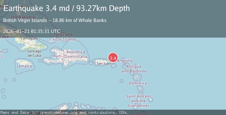
A 3.4 magnitude earthquake struck on 56 km N of Cruz Bay, U.S. Virgin Islands, at Wed, 21 Jan 2026 01:35:31 GMT. Depth: 93.27km. Reviewed by USGS seismologists, this minor quake occurred at a magnitude type of md.
Magnitude
3.4
md
Source
USGS
Intensity
-
Agency Reports
1 Sources| Source | Magnitude | Depth | Time |
|---|---|---|---|
| USGSPrimary | 3.4 | 93 km | 6 days ago |
Earthquake Details
ConfirmedEvent IDusgs_pr71505528
Tsunami PotentialNo
Magnitude Typemd
Nearest Places
- Whale Banks18.8 km
- Turtle Head25.0 km
- Barracouta Banks31.1 km
- Kingfish Banks35.2 km
- Virgin Islands Shelf39.7 km
Comments
Join the discussion about this event.
Latest Earthquakes
2.3Mag
17 km E of Ferry, Alaska
Time5 minutes ago
Depth5.00 km
SourceUSGS (Automatic)
2.1Mag
West Papua Region, Indonesia
Time12 minutes ago
Depth10.00 km
SourceBMKG (Automatic)
4.0Mag
SAN JUAN, ARGENTINA
Time12 minutes ago
Depth123.70 km
SourceCSN (Automatic)
4.0Mag
BANDA SEA
Time14 minutes ago
Depth101.00 km
SourceBMKG (Automatic)
1.6Mag
1 km WSW of Pittsburg, CA
Time16 minutes ago
Depth15.89 km
SourceUSGS (Automatic)
Nearby Earthquakes
3.2Mag
VIRGIN ISLANDS REGION
Time1 day ago
Depth20.60 km
SourcePR (Automatic)
3.5Mag
73 km N of Cruz Bay, U.S. Virgin Islands
Time2 days ago
Depth46.00 km
SourceUSGS
3.7Mag
VIRGIN ISLANDS REGION
Time4 days ago
Depth35.00 km
SourceNEIC (Automatic)
3.3Mag
VIRGIN ISLANDS REGION
Time3 days ago
Depth28.60 km
SourcePR (Automatic)
3.1Mag
VIRGIN ISLANDS REGION
Time2 days ago
Depth43.00 km
SourcePR (Automatic)