Earthquake 19 km ENE of Ferry, Alaska
Tue, 27 Jan 2026 23:56:44 GMT
Time1 hour ago
Location
64.0590, -148.7320
Depth
5.0 KM
Event Summary
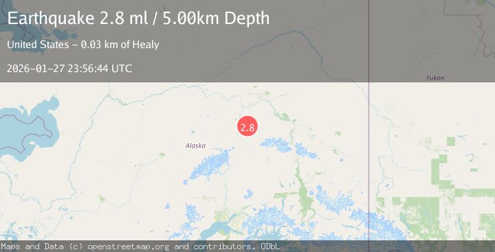
A 2.8 magnitude earthquake struck on 19 km ENE of Ferry, Alaska, at Tue, 27 Jan 2026 23:56:44 GMT. Depth: 5km. Reviewed by USGS seismologists, this minor quake occurred at a magnitude type of ml.
Magnitude
2.8
ml
Source
USGS
Intensity
-
Agency Reports
1 Sources| Source | Magnitude | Depth | Time |
|---|---|---|---|
| USGSPrimary | 2.8 | 5 km | 1 hour ago |
Earthquake Details
AutomaticEvent IDusgs_ak2026bxomyr
Tsunami PotentialNo
Magnitude Typeml
Nearest Places
- Elsie Creek0.4 km
- Eva Creek0.9 km
- McAdam Creek2.5 km
- Lynx Creek3.7 km
- Eagle Creek4.4 km
Comments
Join the discussion about this event.
Latest Earthquakes
1.1Mag
10 km W of Pine Valley, CA
Time12 minutes ago
Depth16.63 km
SourceUSGS (Automatic)
1.3Mag
5 km SW of Loyola, CA
Time22 minutes ago
Depth7.14 km
SourceUSGS (Automatic)
1.7Mag
7 km ESE of Hiko, Nevada
Time24 minutes ago
Depth14.08 km
SourceUSGS (Automatic)
2.4Mag
EASTERN TURKEY
Time25 minutes ago
Depth5.40 km
SourceAFAD (Automatic)
2.8Mag
63 km SE of Denali National Park, Alaska
Time32 minutes ago
Depth123.60 km
SourceUSGS (Automatic)
Nearby Earthquakes
2.6Mag
17 km ENE of Ferry, Alaska
Time1 week ago
Depth5.00 km
SourceUSGS
2.2Mag
13 km NW of Ferry, Alaska
Time1 day ago
Depth139.50 km
SourceUSGS (Automatic)
1.3Mag
12 km SSE of Nenana, Alaska
Time1 day ago
Depth1.80 km
SourceUSGS (Automatic)
1.8Mag
37 km W of Clear, Alaska
Time20 hours ago
Depth1.40 km
SourceUSGS (Automatic)
2.2Mag
36 km WSW of Salcha, Alaska
Time3 days ago
Depth5.00 km
SourceUSGS (Automatic)