Earthquake 8 km SW of Charlotte Amalie, U.S. Virgin Islands
Fri, 30 Jan 2026 10:58:49 GMT
Time1 day ago
Location
18.2845, -64.9840
Depth
32.6 KM
Event Summary
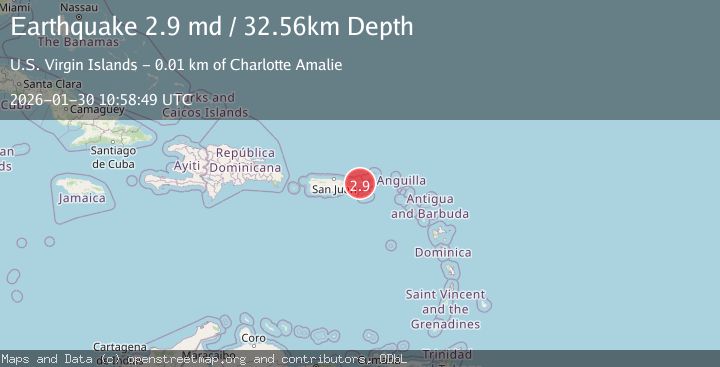
A 2.9 magnitude earthquake struck on 8 km SW of Charlotte Amalie, U.S. Virgin Islands, at Fri, 30 Jan 2026 10:58:49 GMT. Depth: 32.56km. Reviewed by USGS seismologists, this minor quake occurred at a magnitude type of md.
Magnitude
2.9
md
Source
USGS
Intensity
-
Agency Reports
1 Sources| Source | Magnitude | Depth | Time |
|---|---|---|---|
| USGSPrimary | 2.9 | 33 km | 1 day ago |
Earthquake Details
ConfirmedEvent IDusgs_pr71506198
Tsunami PotentialNo
Magnitude Typemd
Nearest Places
- West Gregerie Channel Lighted Buoy 22.6 km
- Montalvan Point2.9 km
- Saba Island2.9 km
- Montalvan Hill2.9 km
- Porpoise Rocks2.9 km
Comments
Join the discussion about this event.
Latest Earthquakes
0.7Mag
6 km NW of The Geysers, CA
Time1 hour ago
Depth2.11 km
SourceUSGS (Automatic)
2.8Mag
CYPRUS REGION
Time1 hour ago
Depth54.80 km
SourceCSLC (Automatic)
2.7Mag
SAN JUAN, ARGENTINA
Time1 hour ago
Depth124.00 km
SourceNSNA (Automatic)
3.9Mag
OFF E. COAST OF N. ISLAND, N.Z.
Time1 hour ago
Depth33.00 km
SourceGNS (Automatic)
3.4Mag
OFFSHORE NORTHERN CALIFORNIA
Time2 hours ago
Depth16.60 km
SourceNC (Automatic)
Nearby Earthquakes
3.4Mag
VIRGIN ISLANDS REGION
Time6 days ago
Depth18.80 km
SourcePR (Automatic)
3.0Mag
16 km S of Cruz Bay, U.S. Virgin Islands
Time5 days ago
Depth10.92 km
SourceUSGS
3.4Mag
56 km N of Cruz Bay, U.S. Virgin Islands
Time1 week ago
Depth93.27 km
SourceUSGS
3.2Mag
VIRGIN ISLANDS REGION
Time5 days ago
Depth20.60 km
SourcePR (Automatic)
2.9Mag
PUERTO RICO REGION
Time3 days ago
Depth4.60 km
SourcePR (Automatic)