Earthquake 16 km S of Cruz Bay, U.S. Virgin Islands
Mon, 26 Jan 2026 07:37:51 GMT
Time5 days ago
Location
18.1882, -64.7668
Depth
10.9 KM
Event Summary
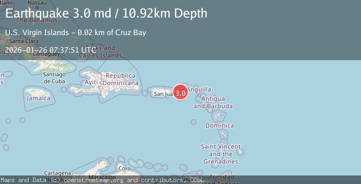
A 3.0 magnitude earthquake struck on 16 km S of Cruz Bay, U.S. Virgin Islands, at Mon, 26 Jan 2026 07:37:51 GMT. Depth: 10.92km. Reviewed by USGS seismologists, this minor quake occurred at a magnitude type of md.
Magnitude
3.0
md
Source
USGS
Intensity
-
Agency Reports
1 Sources| Source | Magnitude | Depth | Time |
|---|---|---|---|
| USGSPrimary | 3.0 | 11 km | 5 days ago |
Earthquake Details
ConfirmedEvent IDusgs_pr71505933
Tsunami PotentialNo
Magnitude Typemd
Nearest Places
- Frenchcap Cay10.2 km
- Dog Rocks12.8 km
- Virgin Islands Coral Reef National Monument13.0 km
- Dog Island13.0 km
- Reef Bay Sugar Mill (historical)13.3 km
Comments
Join the discussion about this event.
Latest Earthquakes
3.9Mag
ANTOFAGASTA, CHILE
Time2 hours ago
Depth103.90 km
SourceCSN (Automatic)
0.2Mag
6 km WNW of Cobb, CA
Time2 hours ago
Depth1.50 km
SourceUSGS (Automatic)
2.5Mag
Northern Sumatra, Indonesia
Time2 hours ago
Depth7.53 km
SourceBMKG (Automatic)
2.1Mag
WESTERN MEDITERRANEAN SEA
Time2 hours ago
Depth8.70 km
SourceIGN (Automatic)
2.9Mag
South of Sumbawa, Indonesia
Time2 hours ago
Depth23.49 km
SourceBMKG (Automatic)
Nearby Earthquakes
2.9Mag
8 km SW of Charlotte Amalie, U.S. Virgin Islands
Time1 day ago
Depth32.56 km
SourceUSGS
3.4Mag
VIRGIN ISLANDS REGION
Time6 days ago
Depth18.80 km
SourcePR (Automatic)
3.4Mag
56 km N of Cruz Bay, U.S. Virgin Islands
Time1 week ago
Depth93.27 km
SourceUSGS
3.2Mag
VIRGIN ISLANDS REGION
Time5 days ago
Depth20.60 km
SourcePR (Automatic)
3.5Mag
73 km N of Cruz Bay, U.S. Virgin Islands
Time6 days ago
Depth46.00 km
SourceUSGS