Earthquake 21 km NNW of Toyah, Texas
Wed, 07 Jan 2026 18:36:30 GMT
Time2 days ago
Location
31.4930, -103.8870
Depth
5.8 KM
Event Summary
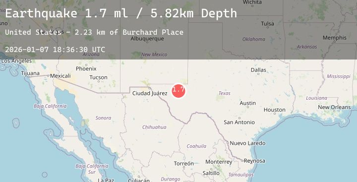
A 1.7 magnitude earthquake struck on 21 km NNW of Toyah, Texas, at Wed, 07 Jan 2026 18:36:30 GMT. Depth: 5.8179km. Reviewed by USGS seismologists, this minor quake occurred at a magnitude type of ml.
Magnitude
1.7
ml
Source
USGS
Intensity
-
Agency Reports
1 Sources| Source | Magnitude | Depth | Time |
|---|---|---|---|
| USGSPrimary | 1.7 | 6 km | 2 days ago |
Earthquake Details
ConfirmedEvent IDusgs_tx2026amljif
Tsunami PotentialNo
Magnitude Typeml
Nearest Places
- Seven Up Tank1.1 km
- Round Mountain1.3 km
- Rock Tank2.1 km
- Burchard Place3.1 km
- Coalson Draw4.4 km
Comments
Join the discussion about this event.
Latest Earthquakes
2.5Mag
Sumba Region, Indonesia
Time2 days ago
Depth52.79 km
SourceBMKG (Automatic)
2.0Mag
SAN FRANCISCO BAY AREA, CALIF.
Time2 days ago
Depth3.60 km
SourceNC (Automatic)
0.7Mag
10 km S of Idyllwild, CA
Time2 days ago
Depth13.63 km
SourceUSGS (Automatic)
2.3Mag
12 km SE of Clam Gulch, Alaska
Time2 days ago
Depth41.00 km
SourceUSGS (Automatic)
1.7Mag
56 km S of Whites City, New Mexico
Time2 days ago
Depth7.10 km
SourceUSGS (Automatic)
Nearby Earthquakes
1.7Mag
56 km S of Whites City, New Mexico
Time2 days ago
Depth7.10 km
SourceUSGS (Automatic)
2.8Mag
WESTERN TEXAS
Time2 days ago
Depth6.70 km
SourceTX (Automatic)
2.4Mag
WESTERN TEXAS
Time2 days ago
Depth3.70 km
SourceTX (Automatic)
1.6Mag
55 km NW of Toyah, Texas
Time2 days ago
Depth4.74 km
SourceUSGS (Automatic)
1.8Mag
57 km S of Whites City, New Mexico
Time3 days ago
Depth13.02 km
SourceUSGS (Automatic)