Earthquake 44 km NW of Toyah, Texas
Sat, 24 Jan 2026 10:36:27 GMT
Time3 days ago
Location
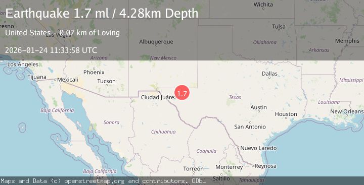
31.6100, -104.1070
Depth
4.3 KM
Event Summary
A 1.7 magnitude earthquake struck on 44 km NW of Toyah, Texas, at Sat, 24 Jan 2026 10:36:27 GMT. Depth: 4.2713km. Reviewed by USGS seismologists, this minor quake occurred at a magnitude type of ml.
Magnitude
1.7
ml
Source
USGS
Intensity
-
Agency Reports
1 Sources| Source | Magnitude | Depth | Time |
|---|---|---|---|
| USGSPrimary | 1.7 | 4 km | 3 days ago |
Earthquake Details
AutomaticEvent IDusgs_tx2026brauqz
Tsunami PotentialNo
Magnitude Typeml
Nearest Places
- Derrick Ranch5.3 km
- Monument Windmill7.7 km
- Old Michigan Mine8.1 km
- Monument Draw8.3 km
- Dry Lake8.9 km
Comments
Join the discussion about this event.
Latest Earthquakes
5.4Mag
Mindanao, Philippines
Time6 minutes ago
Depth10.00 km
SourceBMKG (Automatic)
1.5Mag
16 km WSW of Johannesburg, CA
Time11 minutes ago
Depth8.58 km
SourceUSGS (Automatic)
1.9Mag
20 km SE of Naalehu, Hawaii
Time20 minutes ago
Depth34.08 km
SourceUSGS (Automatic)
1.6Mag
CENTRAL TURKEY
Time22 minutes ago
Depth7.00 km
SourceAFAD (Automatic)
3.4Mag
Banda Sea
Time25 minutes ago
Depth159.46 km
SourceBMKG (Automatic)
Nearby Earthquakes
1.5Mag
37 km NW of Toyah, Texas
Time5 days ago
Depth6.63 km
SourceUSGS (Automatic)
1.5Mag
36 km NW of Toyah, Texas
Time2 days ago
Depth5.77 km
SourceUSGS (Automatic)
2.0Mag
WESTERN TEXAS
Time6 days ago
Depth4.30 km
SourceTX (Automatic)
1.7Mag
34 km NW of Toyah, Texas
Time2 days ago
Depth4.59 km
SourceUSGS (Automatic)
1.4Mag
41 km NW of Toyah, Texas
Time3 hours ago
Depth2.74 km
SourceUSGS (Automatic)