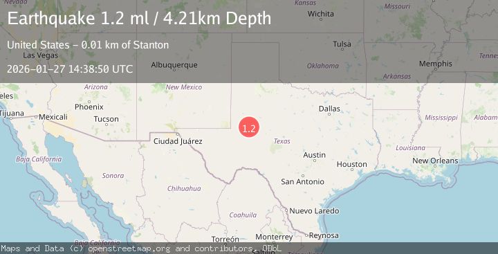
Earthquake 10 km WSW of Stanton, Texas
Tue, 27 Jan 2026 14:38:50 GMT
Time3 hours ago
Location
32.0900, -101.8930
Depth
4.2 KM
Event Summary
A 1.2 magnitude earthquake struck on 10 km WSW of Stanton, Texas, at Tue, 27 Jan 2026 14:38:50 GMT. Depth: 4.2105km. Reviewed by USGS seismologists, this minor quake occurred at a magnitude type of ml.
Magnitude
1.2
ml
Source
USGS
Intensity
-
Agency Reports
1 Sources| Source | Magnitude | Depth | Time |
|---|---|---|---|
| USGSPrimary | 1.2 | 4 km | 3 hours ago |
Earthquake Details
AutomaticEvent IDusgs_tx2026bwwafe
Tsunami PotentialNo
Magnitude Typeml
Comments
Join the discussion about this event.
Latest Earthquakes
1.1Mag
54 km SSE of Denali National Park, Alaska
Time11 minutes ago
Depth12.30 km
SourceUSGS (Automatic)
2.9Mag
Minahassa Peninsula, Sulawesi
Time26 minutes ago
Depth194.17 km
SourceBMKG (Automatic)
3.9Mag
ECUADOR
Time38 minutes ago
Depth211.00 km
SourceQUI (Automatic)
4.7Mag
IONIAN SEA
Time43 minutes ago
Depth9.70 km
SourceNOA (Automatic)
1.0Mag
WESTERN TURKEY
Time43 minutes ago
Depth8.70 km
SourceAFAD (Automatic)
Nearby Earthquakes
1.2Mag
10 km WSW of Stanton, Texas
Time12 hours ago
Depth3.73 km
SourceUSGS (Automatic)
1.9Mag
11 km WSW of Stanton, Texas
Time3 days ago
Depth2.82 km
SourceUSGS (Automatic)
1.1Mag
11 km WSW of Stanton, Texas
Time5 days ago
Depth5.44 km
SourceUSGS (Automatic)
1.2Mag
13 km WSW of Stanton, Texas
Time21 hours ago
Depth3.46 km
SourceUSGS (Automatic)
1.5Mag
12 km W of Stanton, Texas
Time1 day ago
Depth3.73 km
SourceUSGS (Automatic)