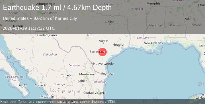
Earthquake 13 km ENE of Falls City, Texas
Fri, 30 Jan 2026 11:37:22 GMT
Time3 hours ago
Location
29.0430, -97.8950
Depth
4.7 KM
Event Summary
A 1.7 magnitude earthquake struck on 13 km ENE of Falls City, Texas, at Fri, 30 Jan 2026 11:37:22 GMT. Depth: 4.6709km. Reviewed by USGS seismologists, this minor quake occurred at a magnitude type of ml.
Magnitude
1.7
ml
Source
USGS
Intensity
-
Agency Reports
1 Sources| Source | Magnitude | Depth | Time |
|---|---|---|---|
| USGSPrimary | 1.7 | 5 km | 3 hours ago |
Earthquake Details
AutomaticEvent IDusgs_tx2026ccdejb
Tsunami PotentialNo
Magnitude Typeml
Nearest Places
- Pawelek Lake Number 1 Dam1.4 km
- Pawelek Lake Number 2 Dam1.6 km
- Pawelek Lake Number 11.7 km
- Pawelek Lake Number 21.7 km
- Pawelekville3.9 km
Comments
Join the discussion about this event.
Latest Earthquakes
3.3Mag
Minahassa Peninsula, Sulawesi
Time7 minutes ago
Depth10.00 km
SourceBMKG (Automatic)
1.5Mag
10 km W of Forsan, Texas
Time7 minutes ago
Depth4.32 km
SourceUSGS (Automatic)
2.4Mag
Northern Sumatra, Indonesia
Time9 minutes ago
Depth10.00 km
SourceBMKG (Automatic)
3.8Mag
MAULE, CHILE
Time17 minutes ago
Depth184.50 km
SourceCSN (Automatic)
2.8Mag
PUERTO RICO REGION
Time21 minutes ago
Depth13.60 km
SourcePR (Automatic)
Nearby Earthquakes
2.0Mag
SOUTHERN TEXAS
Time20 hours ago
Depth9.40 km
SourceTX (Automatic)
1.9Mag
11 km E of Pearsall, Texas
Time2 days ago
Depth13.00 km
SourceUSGS (Automatic)
1.8Mag
10 km E of Pearsall, Texas
Time2 days ago
Depth9.52 km
SourceUSGS (Automatic)
2.2Mag
SOUTHERN TEXAS
Time1 week ago
Depth9.50 km
SourceTX (Automatic)
1.8Mag
8 km E of Pearsall, Texas
Time3 days ago
Depth10.19 km
SourceUSGS (Automatic)