Earthquake 13 km ENE of Marfa, Texas
Sat, 07 Feb 2026 00:43:09 GMT
Time1 hour ago
Location
30.3700, -103.8950
Depth
0.0 KM
Event Summary
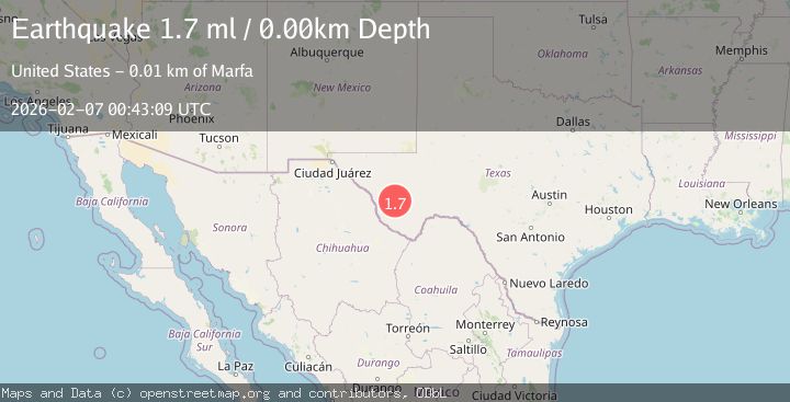
A 1.7 magnitude earthquake struck on 13 km ENE of Marfa, Texas, at Sat, 07 Feb 2026 00:43:09 GMT. Depth: 0km. Reviewed by USGS seismologists, this minor quake occurred at a magnitude type of ml.
Magnitude
1.7
ml
Source
USGS
Intensity
-
Agency Reports
1 Sources| Source | Magnitude | Depth | Time |
|---|---|---|---|
| USGSPrimary | 1.7 | 0 km | 1 hour ago |
Earthquake Details
AutomaticEvent IDusgs_tx2026cpzhtm
Tsunami PotentialNo
Magnitude Typeml
Nearest Places
- Orphan Hill0.4 km
- W-Bar Tank6.0 km
- Crenshaw Tank6.1 km
- Ponder Draw7.0 km
- Crenshaw Mountain7.4 km
Comments
Join the discussion about this event.
Latest Earthquakes
1.8Mag
100 km N of Yakutat, Alaska
Time8 minutes ago
Depth1.00 km
SourceUSGS
1.9Mag
53 km W of Mentone, Texas
Time14 minutes ago
Depth3.83 km
SourceUSGS (Automatic)
2.9Mag
200 km SSE of Akutan, Alaska
Time17 minutes ago
Depth2.00 km
SourceUSGS
2.3Mag
PUERTO RICO
Time31 minutes ago
Depth12.70 km
SourcePR (Automatic)
2.5Mag
Flores Region, Indonesia
Time34 minutes ago
Depth77.61 km
SourceBMKG (Automatic)
Nearby Earthquakes
1.7Mag
37 km E of Balmorhea, Texas
Time3 days ago
Depth5.65 km
SourceUSGS (Automatic)
1.5Mag
33 km E of Balmorhea, Texas
Time1 day ago
Depth5.46 km
SourceUSGS (Automatic)
1.5Mag
31 km ENE of Balmorhea, Texas
Time1 day ago
Depth5.06 km
SourceUSGS (Automatic)
1.6Mag
34 km SW of Coyanosa, Texas
Time2 weeks ago
Depth6.45 km
SourceUSGS (Automatic)
1.9Mag
15 km NNW of Toyah, Texas
Time1 week ago
Depth6.13 km
SourceUSGS (Automatic)