Earthquake 4 km NW of Westbrook, Texas
Sun, 15 Feb 2026 16:31:11 GMT
Time3 days ago
Location
32.3900, -101.0440
Depth
1.6 KM
Event Summary
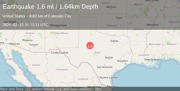
A 1.6 magnitude earthquake struck on 4 km NW of Westbrook, Texas, at Sun, 15 Feb 2026 16:31:11 GMT. Depth: 1.6351km. Reviewed by USGS seismologists, this minor quake occurred at a magnitude type of ml.
Magnitude
1.6
ml
Source
USGS
Intensity
-
Agency Reports
1 Sources| Source | Magnitude | Depth | Time |
|---|---|---|---|
| USGSPrimary | 1.6 | 2 km | 3 days ago |
Earthquake Details
AutomaticEvent IDusgs_tx2026dfwnth
Tsunami PotentialNo
Magnitude Typeml
Nearest Places
- Hasting Creek0.4 km
- Butler Camp1.6 km
- Butler Lake2.3 km
- Butler Lake Dam2.4 km
- North Branch Hasting Creek2.9 km
Comments
Join the discussion about this event.
Latest Earthquakes
1.9Mag
Southern California
Time7 hours ago
Depth0.00 km
SourceVYT (Automatic)
1.1Mag
Southeastern Alaska
Time7 hours ago
Depth31.25 km
SourceVYT (Automatic)
3.3Mag
OFFSHORE CHIAPAS, MEXICO
Time7 hours ago
Depth30.00 km
SourceINET (Automatic)
1.5Mag
3 km W of Lake Henshaw, CA
Time7 hours ago
Depth12.38 km
SourceUSGS (Automatic)
2.0Mag
Southern Alaska
Time7 hours ago
Depth73.73 km
SourceVYT (Automatic)
Nearby Earthquakes
2.6Mag
WESTERN TEXAS
Time1 week ago
Depth1.60 km
SourceTX (Automatic)
1.7Mag
3 km NNW of Westbrook, Texas
Time1 week ago
Depth0.09 km
SourceUSGS (Automatic)
3.0Mag
WESTERN TEXAS
Time2 months ago
Depth2.70 km
SourceNEIC (Automatic)
2.5Mag
WESTERN TEXAS
Time1 month ago
Depth5.00 km
SourceNEIC (Automatic)
2.0Mag
WESTERN TEXAS
Time1 month ago
Depth2.20 km
SourceTX (Automatic)