Earthquake 20 km W of Coyanosa, Texas
Mon, 16 Feb 2026 19:11:24 GMT
Time1 day ago
Location
31.2140, -103.2780
Depth
5.2 KM
Event Summary
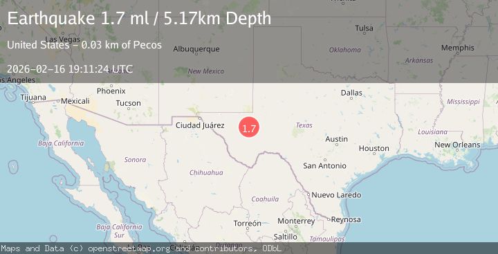
A 1.7 magnitude earthquake struck on 20 km W of Coyanosa, Texas, at Mon, 16 Feb 2026 19:11:24 GMT. Depth: 5.1705km. Reviewed by USGS seismologists, this minor quake occurred at a magnitude type of ml.
Magnitude
1.7
ml
Source
USGS
Intensity
-
Agency Reports
1 Sources| Source | Magnitude | Depth | Time |
|---|---|---|---|
| USGSPrimary | 1.7 | 5 km | 1 day ago |
Earthquake Details
AutomaticEvent IDusgs_tx2026dhxork
Tsunami PotentialNo
Magnitude Typeml
Nearest Places
- Toro Gas Field5.5 km
- Flat Top Farm6.5 km
- Old X Ranch6.7 km
- Smithers Emitter Site12.9 km
- Weatherby Ranch13.3 km
Comments
Join the discussion about this event.
Latest Earthquakes
1.2Mag
Southern Alaska
Time6 minutes ago
Depth37.11 km
SourceVYT (Automatic)
3.0Mag
Seram, Indonesia
Time6 minutes ago
Depth12.36 km
SourceBMKG
1.1Mag
Washington
Time11 minutes ago
Depth9.64 km
SourceVYT (Automatic)
1.3Mag
WESTERN TURKEY
Time11 minutes ago
Depth8.60 km
SourceAFAD (Automatic)
1.9Mag
32 km NW of Toyah, Texas
Time13 minutes ago
Depth4.09 km
SourceUSGS (Automatic)
Nearby Earthquakes
1.5Mag
19 km W of Coyanosa, Texas
Time5 days ago
Depth5.13 km
SourceUSGS (Automatic)
2.1Mag
WESTERN TEXAS
Time1 day ago
Depth8.20 km
SourceTX (Automatic)
3.0Mag
WESTERN TEXAS
Time3 years ago
Depth5.00 km
SourceNEIC (Automatic)
3.0Mag
WESTERN TEXAS
Time6 years ago
Depth5.00 km
SourceNEIC (Automatic)
3.0Mag
WESTERN TEXAS
Time8 years ago
Depth1.00 km
SourceNEIC (Automatic)