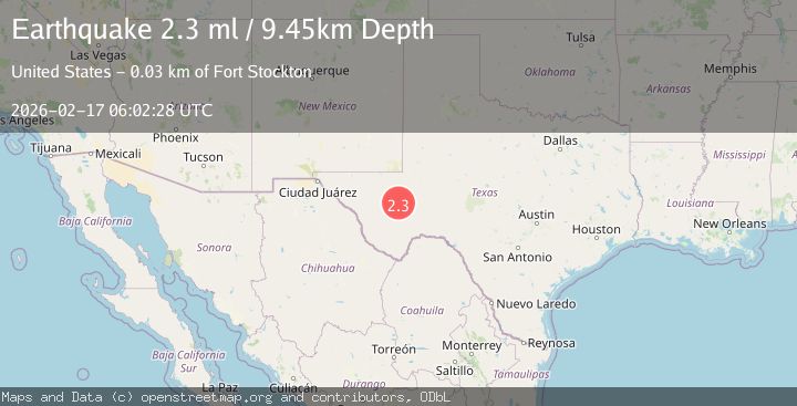
Earthquake 30 km W of Fort Stockton, Texas
Tue, 17 Feb 2026 06:02:28 GMT
Time1 day ago
Location
30.9420, -103.1890
Depth
9.5 KM
Event Summary
A 2.3 magnitude earthquake struck on 30 km W of Fort Stockton, Texas, at Tue, 17 Feb 2026 06:02:28 GMT. Depth: 9.451km. Reviewed by USGS seismologists, this minor quake occurred at a magnitude type of ml.
Magnitude
2.3
ml
Source
USGS
Intensity
-
Agency Reports
1 Sources| Source | Magnitude | Depth | Time |
|---|---|---|---|
| USGSPrimary | 2.3 | 9 km | 1 day ago |
Earthquake Details
AutomaticEvent IDusgs_tx2026ditdss
Tsunami PotentialNo
Magnitude Typeml
Nearest Places
- Beard Windmill6.9 km
- Metzger Windmill8.4 km
- Liano Windmill9.3 km
- Whitehouse Well9.7 km
- Brahma Windmill10.6 km
Comments
Join the discussion about this event.
Latest Earthquakes
2.8Mag
Fox Islands, Aleutian Islands, Alaska
Time1 minute ago
Depth80.44 km
SourceVYT (Automatic)
0.9Mag
110 km S of McCarthy, Alaska
Time3 minutes ago
Depth18.50 km
SourceUSGS (Automatic)
3.0Mag
Central Alaska
Time4 minutes ago
Depth0.12 km
SourceVYT (Automatic)
2.5Mag
Minahassa Peninsula, Sulawesi
Time5 minutes ago
Depth4.95 km
SourceBMKG
2.9Mag
Minahasa, Sulawesi, Indonesia
Time5 minutes ago
Depth10.86 km
SourceVYT (Automatic)
Nearby Earthquakes
1.6Mag
41 km W of Fort Stockton, Texas
Time1 day ago
Depth5.67 km
SourceUSGS (Automatic)
3.0Mag
WESTERN TEXAS
Time10 years ago
Depth5.00 km
SourceNEIC (Automatic)
3.0Mag
WESTERN TEXAS
Time4 years ago
Depth5.00 km
SourceNEIC (Automatic)
3.0Mag
WESTERN TEXAS
Time3 years ago
Depth5.00 km
SourceNEIC (Automatic)
3.0Mag
WESTERN TEXAS
Time4 years ago
Depth5.00 km
SourceNEIC (Automatic)