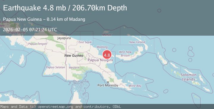
Earthquake 141 km E of Madang, Papua New Guinea
Thu, 05 Feb 2026 07:21:24 GMT
Time1 week ago
Location
-5.4071, 147.0493
Depth
206.7 KM
Event Summary
A 4.8 magnitude earthquake struck on 141 km E of Madang, Papua New Guinea, at Thu, 05 Feb 2026 07:21:24 GMT. Depth: 206.697km. Reviewed by USGS seismologists, this light quake occurred at a magnitude type of mb.
Magnitude
4.8
mb
Source
USGS
Intensity
-
Agency Reports
2 Sources| Source | Magnitude | Depth | Time |
|---|---|---|---|
| USGSPrimary | 4.8 | 207 km | 1 week ago |
| EMSC | 4.8 | 207 km | 1 week ago |
Earthquake Details
ConfirmedEvent IDusgs_us6000s6k5
Tsunami PotentialNo
Magnitude Typemb
Nearest Places
- Matafum5.7 km
- Matafum School5.8 km
- Long Island7.0 km
- Karim7.1 km
- Bunaga8.2 km
Comments
Join the discussion about this event.
Latest Earthquakes
2.4Mag
Sulawesi, Indonesia
Time8 minutes ago
Depth4.26 km
SourceBMKG
2.2Mag
Northern Sumatra, Indonesia
Time12 minutes ago
Depth8.25 km
SourceBMKG
2.5Mag
CRETE, GREECE
Time19 minutes ago
Depth17.50 km
SourceNOA (Automatic)
2.5Mag
Tarapaca, Chile
Time23 minutes ago
Depth112.55 km
SourceVYT (Automatic)
2.0Mag
ALBANIA
Time24 minutes ago
Depth15.00 km
SourceIGEO (Automatic)
Nearby Earthquakes
4.0Mag
EASTERN NEW GUINEA REG., P.N.G.
Time3 years ago
Depth221.00 km
SourceNEIC (Automatic)
5.5Mag
EASTERN NEW GUINEA REG., P.N.G.
Time2 years ago
Depth200.00 km
SourceEMSC (Automatic)
5.3Mag
EASTERN NEW GUINEA REG., P.N.G.
Time6 years ago
Depth209.00 km
SourceEMSC (Automatic)
5.2Mag
EASTERN NEW GUINEA REG., P.N.G.
Time7 months ago
Depth188.00 km
SourceEMSC (Automatic)
4.0Mag
EASTERN NEW GUINEA REG., P.N.G.
Time2 years ago
Depth178.40 km
SourceNEIC (Automatic)