Earthquake 111 km NNW of Yakutat, Alaska
Thu, 01 Jan 2026 07:17:01 GMT
Time4 hours ago
Location
60.4874, -140.4020
Depth
5.0 KM
Event Summary
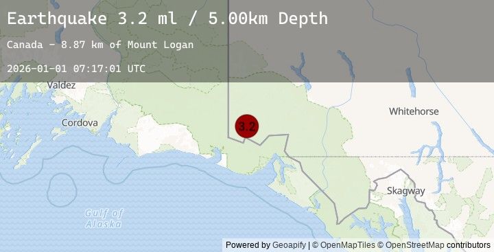
A 3.2 magnitude earthquake struck on 111 km NNW of Yakutat, Alaska, at Thu, 01 Jan 2026 07:17:01 GMT. Depth: 5km. Reviewed by USGS seismologists, this minor quake occurred at a magnitude type of ml.
Magnitude
3.2
ml
Source
USGS
Intensity
-
Earthquake Details
ConfirmedEvent IDusgs_us7000rlur
Tsunami PotentialNo
Magnitude Typeml
Nearest Places
- Mount Logan8.9 km
- McArthur Peak16.8 km
- King Peak17.4 km
- Mount Baird19.2 km
- Mount Augusta20.4 km
Comments
Join the discussion about this event.
Latest Earthquakes
1.0Mag
11 km WSW of Salton City, CA
Time3 minutes ago
Depth4.47 km
SourceUSGS (Automatic)
2.3Mag
Java, Indonesia
Time15 minutes ago
Depth58.10 km
SourceBMKG (Automatic)
2.8Mag
JAVA, INDONESIA
Time15 minutes ago
Depth41.00 km
SourceEMSC (Automatic)
2.9Mag
SOUTHERN YUKON TERRITORY, CANADA
Time20 minutes ago
Depth5.00 km
SourceEMSC (Automatic)
2.9Mag
111 km N of Yakutat, Alaska
Time20 minutes ago
Depth5.00 km
SourceUSGS
Nearby Earthquakes
2.9Mag
111 km N of Yakutat, Alaska
Time20 minutes ago
Depth5.00 km
SourceUSGS
2.9Mag
SOUTHERN YUKON TERRITORY, CANADA
Time20 minutes ago
Depth5.00 km
SourceEMSC (Automatic)
2.7Mag
SOUTHERN YUKON TERRITORY, CANADA
Time1 hour ago
Depth5.00 km
SourceEMSC (Automatic)
2.7Mag
115 km NNW of Yakutat, Alaska
Time1 hour ago
Depth5.00 km
SourceUSGS
2.8Mag
SOUTHERN YUKON TERRITORY, CANADA
Time1 hour ago
Depth5.00 km
SourceEMSC (Automatic)