Earthquake 103 km N of Yakutat, Alaska
Thu, 01 Jan 2026 07:36:46 GMT
Time3 hours ago
Location
60.4749, -139.9294
Depth
5.0 KM
Event Summary
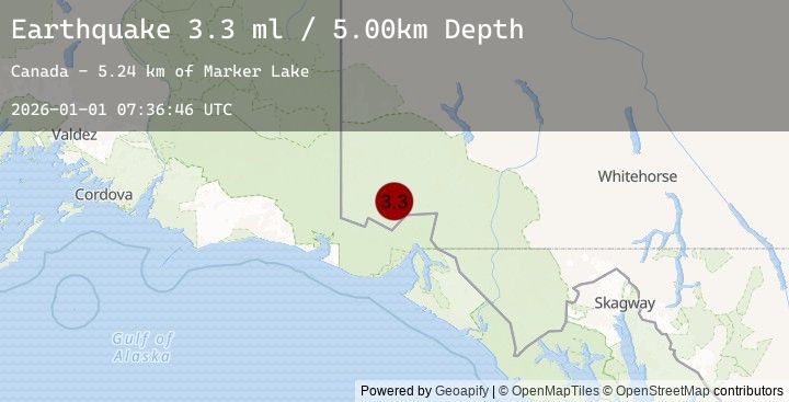
A 3.3 magnitude earthquake struck on 103 km N of Yakutat, Alaska, at Thu, 01 Jan 2026 07:36:46 GMT. Depth: 5km. Reviewed by USGS seismologists, this minor quake occurred at a magnitude type of ml.
Magnitude
3.3
ml
Source
USGS
Intensity
-
Earthquake Details
ConfirmedEvent IDusgs_us7000rluv
Tsunami PotentialNo
Magnitude Typeml
Nearest Places
- Marker Lake5.2 km
- Mount King George10.0 km
- Mount Vancouver18.1 km
- Mount Queen Mary20.4 km
- McArthur Peak21.3 km
Comments
Join the discussion about this event.
Latest Earthquakes
2.6Mag
Minahassa Peninsula, Sulawesi
Time1 hour ago
Depth2.91 km
SourceBMKG (Automatic)
1.9Mag
11 km NE of Pāhala, Hawaii
Time1 hour ago
Depth28.79 km
SourceUSGS (Automatic)
2.4Mag
Sumbawa Region, Indonesia
Time1 hour ago
Depth57.86 km
SourceBMKG (Automatic)
1.2Mag
WESTERN TURKEY
Time1 hour ago
Depth7.00 km
SourceEMSC (Automatic)
1.4Mag
80 km N of Karluk, Alaska
Time1 hour ago
Depth5.00 km
SourceUSGS (Automatic)
Nearby Earthquakes
3.0Mag
SOUTHERN YUKON TERRITORY, CANADA
Time2 hours ago
Depth3.20 km
SourceEMSC (Automatic)
3.0Mag
111 km NNW of Yakutat, Alaska
Time2 hours ago
Depth3.19 km
SourceUSGS
2.9Mag
SOUTHERN YUKON TERRITORY, CANADA
Time2 hours ago
Depth5.00 km
SourceEMSC (Automatic)
2.9Mag
101 km N of Yakutat, Alaska
Time2 hours ago
Depth5.00 km
SourceUSGS
3.1Mag
110 km NNW of Yakutat, Alaska
Time2 hours ago
Depth8.17 km
SourceUSGS