Earthquake 22 km SSW of Mammoth, Wyoming
Wed, 11 Feb 2026 22:49:52 GMT
Time6 days ago
Location
44.7980, -110.8367
Depth
4.9 KM
Event Summary
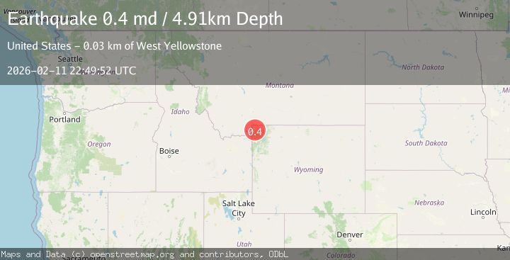
A 0.4 magnitude earthquake struck on 22 km SSW of Mammoth, Wyoming, at Wed, 11 Feb 2026 22:49:52 GMT. Depth: 4.91km. Reviewed by USGS seismologists, this minor quake occurred at a magnitude type of md.
Magnitude
0.4
md
Source
USGS
Intensity
-
Agency Reports
1 Sources| Source | Magnitude | Depth | Time |
|---|---|---|---|
| USGSPrimary | 0.4 | 5 km | 6 days ago |
Earthquake Details
ConfirmedEvent IDusgs_uu80129416
Tsunami PotentialNo
Magnitude Typemd
Nearest Places
- Riverside Geyser1.1 km
- Trilobite Point2.2 km
- Mount Holmes2.8 km
- Mount Holmes Trail3.3 km
- White Peaks3.4 km
Comments
Join the discussion about this event.
Latest Earthquakes
2.6Mag
Antofagasta, Chile
Time4 minutes ago
Depth0.00 km
SourceVYT (Automatic)
2.8Mag
Fox Islands, Aleutian Islands, Alaska
Time7 minutes ago
Depth80.44 km
SourceVYT (Automatic)
0.9Mag
110 km S of McCarthy, Alaska
Time9 minutes ago
Depth18.50 km
SourceUSGS (Automatic)
3.0Mag
Central Alaska
Time9 minutes ago
Depth0.12 km
SourceVYT (Automatic)
2.5Mag
Minahassa Peninsula, Sulawesi
Time11 minutes ago
Depth4.95 km
SourceBMKG
Nearby Earthquakes
0.6Mag
22 km SSW of Mammoth, Wyoming
Time2 weeks ago
Depth4.45 km
SourceUSGS
3.0Mag
YELLOWSTONE NAT. PARK, WYOMING
Time4 months ago
Depth5.00 km
SourceNEIC (Automatic)
3.0Mag
YELLOWSTONE NAT. PARK, WYOMING
Time3 months ago
Depth7.20 km
SourceNEIC (Automatic)
4.0Mag
YELLOWSTONE NAT. PARK, WYOMING
Time1 year ago
Depth10.40 km
SourceNEIC (Automatic)
3.0Mag
YELLOWSTONE NAT. PARK, WYOMING
Time11 years ago
Depth6.00 km
SourceNEIC (Automatic)