Earthquake 22 km SSW of Mammoth, Wyoming
Mon, 02 Feb 2026 18:19:33 GMT
Time1 week ago
Location
44.8008, -110.8410
Depth
4.5 KM
Event Summary
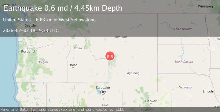
A 0.6 magnitude earthquake struck on 22 km SSW of Mammoth, Wyoming, at Mon, 02 Feb 2026 18:19:33 GMT. Depth: 4.45km. Reviewed by USGS seismologists, this minor quake occurred at a magnitude type of md.
Magnitude
0.6
md
Source
USGS
Intensity
-
Agency Reports
1 Sources| Source | Magnitude | Depth | Time |
|---|---|---|---|
| USGSPrimary | 0.6 | 4 km | 1 week ago |
Earthquake Details
ConfirmedEvent IDusgs_uu80128741
Tsunami PotentialNo
Magnitude Typemd
Nearest Places
- Riverside Geyser0.8 km
- Trilobite Point1.8 km
- Mount Holmes2.3 km
- White Peaks3.0 km
- Mount Holmes Trail3.5 km
Comments
Join the discussion about this event.
Latest Earthquakes
0.8Mag
2 km N of The Geysers, CA
Time4 minutes ago
Depth1.30 km
SourceUSGS (Automatic)
1.8Mag
15 km ENE of Falls City, Texas
Time5 minutes ago
Depth6.56 km
SourceUSGS (Automatic)
1.1Mag
7 km E of Fox, Alaska
Time8 minutes ago
Depth0.20 km
SourceUSGS (Automatic)
1.0Mag
CENTRAL TURKEY
Time23 minutes ago
Depth9.30 km
SourceAFAD (Automatic)
0.8Mag
EASTERN TURKEY
Time28 minutes ago
Depth7.00 km
SourceAFAD (Automatic)
Nearby Earthquakes
1.7Mag
21 km SSW of Mammoth, Wyoming
Time1 week ago
Depth25.82 km
SourceUSGS (Automatic)
1.6Mag
33 km E of West Yellowstone, Montana
Time2 weeks ago
Depth7.60 km
SourceUSGS
1.0Mag
40 km SW of Silver Gate, Montana
Time3 hours ago
Depth2.40 km
SourceUSGS
4.2Mag
WESTERN MONTANA
Time1 week ago
Depth10.00 km
SourceNEIC (Automatic)
2.6Mag
30 km NW of Stanley, Idaho
Time2 weeks ago
Depth10.89 km
SourceUSGS