Earthquake 23 km N of Trout Lake, Washington
Fri, 06 Feb 2026 01:09:28 GMT
Time1 hour ago
Location
46.2055, -121.5243
Depth
-1.0 KM
Event Summary
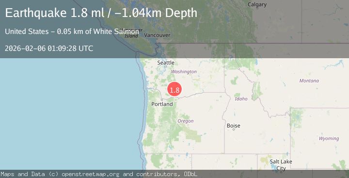
A 1.8 magnitude earthquake struck on 23 km N of Trout Lake, Washington, at Fri, 06 Feb 2026 01:09:28 GMT. Depth: -1.03999996185303km. Reviewed by USGS seismologists, this minor quake occurred at a magnitude type of ml.
Magnitude
1.8
ml
Source
USGS
Intensity
-
Agency Reports
1 Sources| Source | Magnitude | Depth | Time |
|---|---|---|---|
| USGSPrimary | 1.8 | -1 km | 1 hour ago |
Earthquake Details
AutomaticEvent IDusgs_uw62225876
Tsunami PotentialNo
Magnitude Typeml
Nearest Places
- Pinnacle Glacier0.4 km
- Mount Adams Wilderness1.4 km
- Adams Glacier1.6 km
- The Pinnacle1.8 km
- White Salmon Glacier1.8 km
Comments
Join the discussion about this event.
Latest Earthquakes
1.8Mag
17 km W of Petrolia, CA
Time8 minutes ago
Depth10.32 km
SourceUSGS (Automatic)
1.9Mag
19 km NNW of Fishhook, Alaska
Time12 minutes ago
Depth5.00 km
SourceUSGS (Automatic)
5.1Mag
TARAPACA, CHILE
Time20 minutes ago
Depth22.00 km
SourceEMSC (Automatic)
1.0Mag
NORTHERN ITALY
Time23 minutes ago
Depth6.60 km
SourceETHZ (Automatic)
2.3Mag
STRAIT OF GIBRALTAR
Time24 minutes ago
Depth7.50 km
SourceIGN (Automatic)
Nearby Earthquakes
1.5Mag
3 km N of Lewisville, Washington
Time1 week ago
Depth-0.83 km
SourceUSGS
1.3Mag
1 km SSE of Kapowsin, Washington
Time1 week ago
Depth-0.26 km
SourceUSGS
2.0Mag
11 km NNE of Selah, Washington
Time1 week ago
Depth6.23 km
SourceUSGS
2.2Mag
WASHINGTON
Time1 week ago
Depth5.60 km
SourceUW (Automatic)
2.0Mag
PORTLAND URBAN AREA, OREGON
Time2 weeks ago
Depth23.90 km
SourceUW (Automatic)