Earthquake 3 km N of Lewisville, Washington
Thu, 29 Jan 2026 23:55:42 GMT
Time1 week ago
Location
45.8390, -122.5250
Depth
-0.8 KM
Event Summary
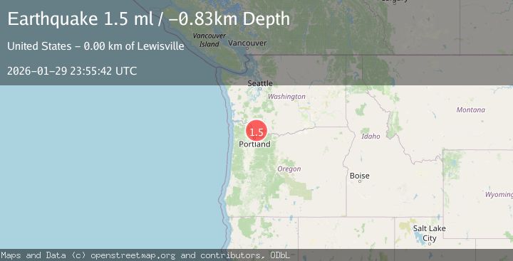
A 1.5 magnitude earthquake struck on 3 km N of Lewisville, Washington, at Thu, 29 Jan 2026 23:55:42 GMT. Depth: -0.83km. Reviewed by USGS seismologists, this minor quake occurred at a magnitude type of ml.
Magnitude
1.5
ml
Source
USGS
Intensity
-
Agency Reports
1 Sources| Source | Magnitude | Depth | Time |
|---|---|---|---|
| USGSPrimary | 1.5 | -1 km | 1 week ago |
Earthquake Details
ConfirmedEvent IDusgs_uw62216537
Tsunami PotentialNo
Magnitude Typeml
Nearest Places
- Rock Creek0.7 km
- Becker Field Airport1.9 km
- Clark County Fire and Rescue Station 222.6 km
- Lewisville Park2.9 km
- Charter Oak3.0 km
Comments
Join the discussion about this event.
Latest Earthquakes
2.4Mag
Sulawesi, Indonesia
Time6 minutes ago
Depth4.09 km
SourceBMKG (Automatic)
3.1Mag
Flores Sea
Time8 minutes ago
Depth0.00 km
SourceBMKG (Automatic)
2.1Mag
8 km SE of Point MacKenzie, Alaska
Time11 minutes ago
Depth23.10 km
SourceUSGS (Automatic)
1.3Mag
4 km SSW of Brawley, CA
Time15 minutes ago
Depth6.06 km
SourceUSGS (Automatic)
2.2Mag
Sumbawa Region, Indonesia
Time18 minutes ago
Depth10.00 km
SourceBMKG (Automatic)
Nearby Earthquakes
2.0Mag
PORTLAND URBAN AREA, OREGON
Time2 weeks ago
Depth23.90 km
SourceUW (Automatic)
1.8Mag
23 km N of Trout Lake, Washington
Time3 hours ago
Depth-1.04 km
SourceUSGS (Automatic)
1.3Mag
1 km SSE of Kapowsin, Washington
Time1 week ago
Depth-0.26 km
SourceUSGS
2.3Mag
4 km SSE of Toledo, Oregon
Time1 week ago
Depth45.04 km
SourceUSGS (Automatic)
2.0Mag
11 km NNE of Selah, Washington
Time1 week ago
Depth6.23 km
SourceUSGS