Earthquake Southern Alaska
Thu, 12 Feb 2026 20:22:12 GMT
Time5 days ago
Location
61.2940, -152.3053
Depth
7.2 KM
Event Summary
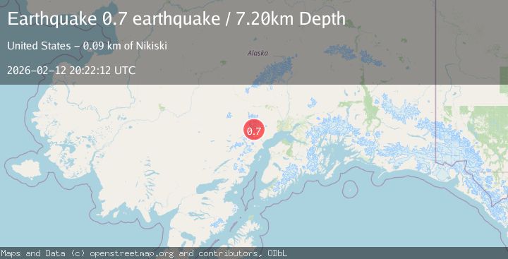
A 0.7 magnitude earthquake struck on Southern Alaska, at Thu, 12 Feb 2026 20:22:12 GMT. Depth: 7.2021484375km. Reviewed by VYT seismologists, this minor quake occurred at a magnitude type of earthquake.
Magnitude
0.7
earthquake
Source
VYT
Intensity
-
Agency Reports
1 Sources| Source | Magnitude | Depth | Time |
|---|---|---|---|
| VYTPrimary | 0.7 | 7 km | 5 days ago |
Earthquake Details
AutomaticEvent IDvyt_12z8w6710gprt
Tsunami PotentialNo
Magnitude Typeearthquake
Nearest Places
- Barrier Glacier1.4 km
- Mount Spurr3.0 km
- Spurr Ice Plateau4.4 km
- Pothole Glacier4.6 km
- Mount Chichantna4.6 km
Comments
Join the discussion about this event.
Latest Earthquakes
3.0Mag
Java, Indonesia
Time3 minutes ago
Depth29.78 km
SourceBMKG
2.4Mag
Finland-Russia border region
Time4 minutes ago
Depth341.92 km
SourceVYT (Automatic)
0.9Mag
8 km W of Cobb, CA
Time9 minutes ago
Depth1.53 km
SourceUSGS (Automatic)
1.8Mag
Central Alaska
Time11 minutes ago
Depth2.08 km
SourceVYT (Automatic)
2.9Mag
WESTERN TURKEY
Time14 minutes ago
Depth11.80 km
SourceKOERI (Automatic)
Nearby Earthquakes
0.6Mag
Southern Alaska
Time6 days ago
Depth0.12 km
SourceVYT (Automatic)
1.1Mag
Southern Alaska
Time3 days ago
Depth0.00 km
SourceVYT (Automatic)
0.8Mag
Southern Alaska
Time5 days ago
Depth0.00 km
SourceVYT (Automatic)
0.8Mag
Southern Alaska
Time2 hours ago
Depth0.00 km
SourceVYT (Automatic)
0.7Mag
70 km WNW of Tyonek, Alaska
Time1 week ago
Depth4.00 km
SourceUSGS (Automatic)