Earthquake 70 km WNW of Tyonek, Alaska
Wed, 04 Feb 2026 19:48:06 GMT
Time2 hours ago
Location
61.3060, -152.3530
Depth
4.0 KM
Event Summary
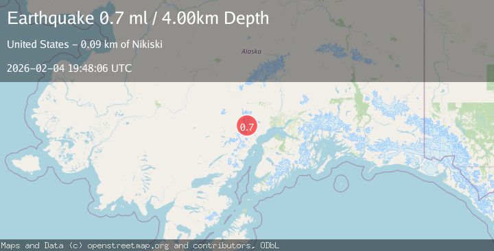
A 0.7 magnitude earthquake struck on 70 km WNW of Tyonek, Alaska, at Wed, 04 Feb 2026 19:48:06 GMT. Depth: 4km. Reviewed by USGS seismologists, this minor quake occurred at a magnitude type of ml.
Magnitude
0.7
ml
Source
USGS
Intensity
-
Agency Reports
1 Sources| Source | Magnitude | Depth | Time |
|---|---|---|---|
| USGSPrimary | 0.7 | 4 km | 2 hours ago |
Earthquake Details
AutomaticEvent IDusgs_ak2026clybso
Tsunami PotentialNo
Magnitude Typeml
Nearest Places
- Barrier Glacier1.6 km
- Pothole Glacier1.8 km
- Mount Chichantna5.2 km
- Mount Spurr5.5 km
- Spurr Ice Plateau6.2 km
Comments
Join the discussion about this event.
Latest Earthquakes
2.5Mag
Southern Sumatra, Indonesia
Time49 minutes ago
Depth14.57 km
SourceBMKG (Automatic)
3.3Mag
South of Java, Indonesia
Time1 hour ago
Depth25.48 km
SourceBMKG (Automatic)
3.6Mag
Minahassa Peninsula, Sulawesi
Time1 hour ago
Depth3.49 km
SourceBMKG (Automatic)
2.7Mag
West Papua Region, Indonesia
Time1 hour ago
Depth10.00 km
SourceBMKG (Automatic)
2.4Mag
Minahassa Peninsula, Sulawesi
Time1 hour ago
Depth86.87 km
SourceBMKG (Automatic)
Nearby Earthquakes
3.1Mag
SOUTHERN ALASKA
Time1 week ago
Depth5.00 km
SourceAK (Automatic)
1.8Mag
66 km WNW of Tyonek, Alaska
Time1 week ago
Depth13.70 km
SourceUSGS (Automatic)
0.8Mag
57 km WNW of Tyonek, Alaska
Time1 week ago
Depth115.90 km
SourceUSGS (Automatic)
0.7Mag
62 km WNW of Beluga, Alaska
Time1 day ago
Depth5.00 km
SourceUSGS (Automatic)
2.2Mag
56 km W of Tyonek, Alaska
Time1 week ago
Depth110.90 km
SourceUSGS (Automatic)