Earthquake Southern Alaska
Thu, 12 Feb 2026 15:41:44 GMT
Time5 days ago
Location
61.1003, -147.6158
Depth
22.9 KM
Event Summary
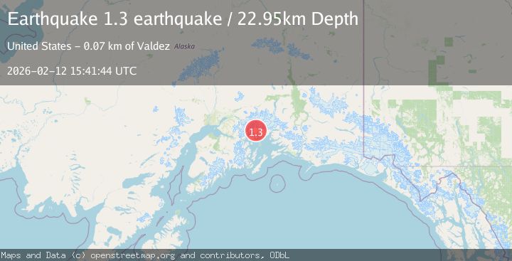
A 1.3 magnitude earthquake struck on Southern Alaska, at Thu, 12 Feb 2026 15:41:44 GMT. Depth: 22.94921875km. Reviewed by VYT seismologists, this minor quake occurred at a magnitude type of earthquake.
Magnitude
1.3
earthquake
Source
VYT
Intensity
-
Agency Reports
1 Sources| Source | Magnitude | Depth | Time |
|---|---|---|---|
| VYTPrimary | 1.3 | 23 km | 5 days ago |
Earthquake Details
AutomaticEvent IDvyt_188m9ky32nhn
Tsunami PotentialNo
Magnitude Typeearthquake
Nearest Places
- Muth Glacier3.1 km
- Baby Glacier7.0 km
- Miners Bay7.5 km
- Dartmouth Glacier7.6 km
- Ranney Creek7.7 km
Comments
Join the discussion about this event.
Latest Earthquakes
2.6Mag
COQUIMBO, CHILE
Time16 hours ago
Depth31.30 km
SourceCSN (Automatic)
3.7Mag
Halmahera, Indonesia
Time16 hours ago
Depth287.72 km
SourceVYT (Automatic)
3.7Mag
Rat Islands, Aleutian Islands, Alaska
Time17 hours ago
Depth59.08 km
SourceVYT (Automatic)
3.5Mag
Salta, Argentina
Time17 hours ago
Depth191.77 km
SourceVYT (Automatic)
2.1Mag
western Texas
Time17 hours ago
Depth0.12 km
SourceVYT (Automatic)
Nearby Earthquakes
0.9Mag
Southern Alaska
Time2 days ago
Depth13.43 km
SourceVYT (Automatic)
1.3Mag
Southern Alaska
Time4 days ago
Depth3.17 km
SourceVYT (Automatic)
1.7Mag
Southern Alaska
Time1 day ago
Depth0.00 km
SourceVYT (Automatic)
1.5Mag
52 km WNW of Tatitlek, Alaska
Time3 weeks ago
Depth7.30 km
SourceUSGS (Automatic)
2.1Mag
Southern Alaska
Time6 days ago
Depth2.44 km
SourceVYT (Automatic)