Earthquake northern Sumatra, Indonesia
Sat, 21 Feb 2026 12:14:32 GMT
Time1 hour ago
Location
4.5658, 95.9767
Depth
13.8 KM
Event Summary
A 2.1 magnitude earthquake struck on northern Sumatra, Indonesia, at Sat, 21 Feb 2026 12:14:32 GMT. Depth: 13.7939453125km. Reviewed by VYT seismologists, this minor quake occurred at a magnitude type of earthquake.
Magnitude
2.1
earthquake
Source
VYT
Intensity
-
Agency Reports
1 Sources| Source | Magnitude | Depth | Time |
|---|---|---|---|
| VYTPrimary | 2.1 | 14 km | 1 hour ago |
Earthquake Details
AutomaticEvent IDvyt_1b4rlyz3in04u
Tsunami PotentialNo
Magnitude Typeearthquake
Nearest Places
- 2.9 km
- 3.6 km
- 4.2 km
- 4.4 km
- 4.9 km
Comments
Join the discussion about this event.
Latest Earthquakes
1.1Mag
western Texas
Time1 hour ago
Depth10.38 km
SourceVYT (Automatic)
4.0Mag
San Juan, Argentina
Time1 hour ago
Depth190.67 km
SourceVYT (Automatic)
1.6Mag
PYRENEES
Time1 hour ago
Depth1.40 km
SourceIGN (Automatic)
3.0Mag
Java, Indonesia
Time1 hour ago
Depth88.50 km
SourceVYT (Automatic)
1.7Mag
Tarapaca, Chile
Time1 hour ago
Depth35.40 km
SourceVYT (Automatic)
Nearby Earthquakes
5.3Mag
NORTHERN SUMATRA, INDONESIA
Time19 years ago
Depth80.00 km
SourceEMSC (Automatic)
2.2Mag
Northern Sumatra, Indonesia
Time2 weeks ago
Depth5.00 km
SourceBMKG (Automatic)
6.3Mag
NORTHERN SUMATRA, INDONESIA
Time20 years ago
Depth33.00 km
SourceEMSC (Automatic)
2.4Mag
Northern Sumatra, Indonesia
Time2 weeks ago
Depth10.00 km
SourceBMKG (Automatic)
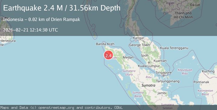
2.4Mag
Northern Sumatra, Indonesia
Time1 week ago
Depth0.00 km
SourceBMKG (Automatic)