Earthquake Northern Sumatra, Indonesia
Sat, 07 Feb 2026 08:52:14 GMT
Time1 hour ago
Location
4.7133, 95.8749
Depth
10.0 KM
Event Summary
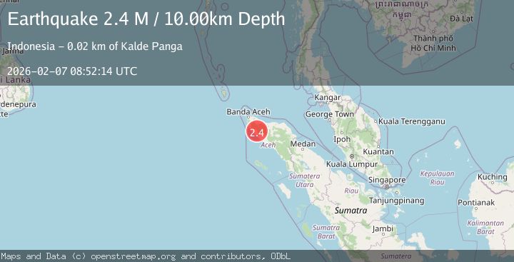
A 2.4 magnitude earthquake struck on Northern Sumatra, Indonesia, at Sat, 07 Feb 2026 08:52:14 GMT. Depth: 10km. Reviewed by BMKG seismologists, this minor quake occurred at a magnitude type of M.
Magnitude
2.4
M
Source
BMKG
Intensity
-
Agency Reports
1 Sources| Source | Magnitude | Depth | Time |
|---|---|---|---|
| BMKGPrimary | 2.4 | 10 km | 1 hour ago |
Earthquake Details
AutomaticEvent IDbmg2026cqhe
Tsunami PotentialNo
Magnitude TypeM
Nearest Places
- Krueng Parak5.7 km
- Gunung Tiga6.4 km
- Gunung Paling7.3 km
- Gunung Kerecieng8.9 km
- Krueng Simpeng Simpik9.6 km
Comments
Join the discussion about this event.
Latest Earthquakes
2.1Mag
17 km W of Nikiski, Alaska
Time12 minutes ago
Depth67.80 km
SourceUSGS (Automatic)
2.9Mag
Southern Sumatra, Indonesia
Time13 minutes ago
Depth16.02 km
SourceBMKG (Automatic)
3.4Mag
CENTRAL ALASKA
Time24 minutes ago
Depth131.20 km
SourceAK (Automatic)
2.3Mag
SPAIN
Time27 minutes ago
Depth0.00 km
SourceIGN (Automatic)
1.5Mag
CENTRAL TURKEY
Time29 minutes ago
Depth7.10 km
SourceAFAD (Automatic)
Nearby Earthquakes
2.7Mag
Northern Sumatra, Indonesia
Time1 week ago
Depth4.82 km
SourceBMKG (Automatic)
2.2Mag
Northern Sumatra, Indonesia
Time3 hours ago
Depth5.00 km
SourceBMKG (Automatic)
2.1Mag
Northern Sumatra, Indonesia
Time2 weeks ago
Depth4.51 km
SourceBMKG (Automatic)
2.1Mag
Northern Sumatra, Indonesia
Time2 weeks ago
Depth8.15 km
SourceBMKG (Automatic)
3.4Mag
Northern Sumatra, Indonesia
Time1 week ago
Depth72.74 km
SourceBMKG (Automatic)