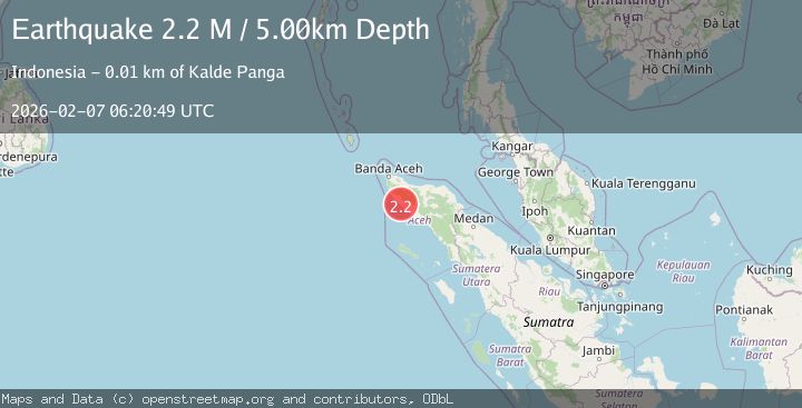
Earthquake Northern Sumatra, Indonesia
Sat, 07 Feb 2026 06:20:49 GMT
Time1 hour ago
Location
4.5203, 95.8212
Depth
5.0 KM
Event Summary
A 2.2 magnitude earthquake struck on Northern Sumatra, Indonesia, at Sat, 07 Feb 2026 06:20:49 GMT. Depth: 5km. Reviewed by BMKG seismologists, this minor quake occurred at a magnitude type of M.
Magnitude
2.2
M
Source
BMKG
Intensity
-
Agency Reports
1 Sources| Source | Magnitude | Depth | Time |
|---|---|---|---|
| BMKGPrimary | 2.2 | 5 km | 1 hour ago |
Earthquake Details
AutomaticEvent IDbmg2026cqce
Tsunami PotentialNo
Magnitude TypeM
Nearest Places
- Laut Bhee1.9 km
- Gampong Seumira2.0 km
- Alue Buya2.1 km
- Alue Punti2.6 km
- Alue Lemirah2.7 km
Comments
Join the discussion about this event.
Latest Earthquakes
2.2Mag
WESTERN TEXAS
Time5 minutes ago
Depth8.30 km
SourceTX (Automatic)
1.4Mag
19 km WSW of Susitna North, Alaska
Time24 minutes ago
Depth22.30 km
SourceUSGS (Automatic)
1.4Mag
27 km E of Coso Junction, CA
Time28 minutes ago
Depth2.25 km
SourceUSGS (Automatic)
1.7Mag
57 km N of Petersville, Alaska
Time36 minutes ago
Depth99.30 km
SourceUSGS (Automatic)
1.4Mag
10 km NNW of Piru, CA
Time46 minutes ago
Depth13.51 km
SourceUSGS (Automatic)
Nearby Earthquakes
3.4Mag
Northern Sumatra, Indonesia
Time1 week ago
Depth55.64 km
SourceBMKG (Automatic)
2.7Mag
Northern Sumatra, Indonesia
Time1 week ago
Depth4.82 km
SourceBMKG (Automatic)
3.0Mag
Northern Sumatra, Indonesia
Time1 week ago
Depth50.37 km
SourceBMKG (Automatic)
2.1Mag
Northern Sumatra, Indonesia
Time2 weeks ago
Depth8.15 km
SourceBMKG (Automatic)
2.9Mag
Northern Sumatra, Indonesia
Time1 week ago
Depth30.75 km
SourceBMKG (Automatic)