Earthquake Southern Alaska
Tue, 17 Feb 2026 03:50:47 GMT
Time1 day ago
Location
60.6381, -152.5285
Depth
13.7 KM
Event Summary
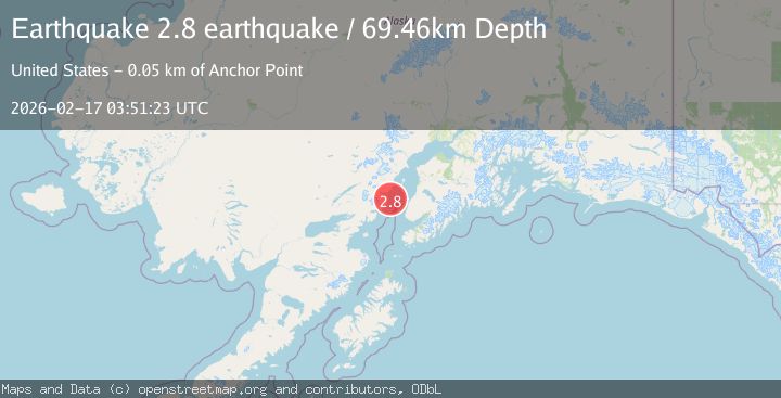
A 2.8 magnitude earthquake struck on Southern Alaska, at Tue, 17 Feb 2026 03:50:47 GMT. Depth: 13.671875km. Reviewed by VYT seismologists, this minor quake occurred at a magnitude type of earthquake.
Magnitude
2.8
earthquake
Source
VYT
Intensity
-
Agency Reports
1 Sources| Source | Magnitude | Depth | Time |
|---|---|---|---|
| VYTPrimary | 2.8 | 69 km | 1 day ago |
Earthquake Details
AutomaticEvent IDvyt_1d9cq2p761bsi
Tsunami PotentialNo
Magnitude Typeearthquake
Nearest Places
- Drift River Lobe Double Glacier2.8 km
- Big River Lobe Double Glacier7.8 km
- Double Glacier8.5 km
- Double Peak10.6 km
- Double Glacier11.1 km
Comments
Join the discussion about this event.
Latest Earthquakes
2.9Mag
northern Sumatra, Indonesia
Time1 minute ago
Depth4.52 km
SourceVYT (Automatic)
1.6Mag
Kenai Peninsula, Alaska
Time8 minutes ago
Depth42.60 km
SourceVYT (Automatic)
2.4Mag
Finland
Time11 minutes ago
Depth301.88 km
SourceVYT (Automatic)
1.2Mag
Alaska Peninsula
Time11 minutes ago
Depth0.12 km
SourceVYT (Automatic)
2.6Mag
SAN JUAN, ARGENTINA
Time12 minutes ago
Depth92.00 km
SourceNSNA (Automatic)
Nearby Earthquakes
2.0Mag
66 km W of Salamatof, Alaska
Time2 weeks ago
Depth116.30 km
SourceUSGS (Automatic)
1.1Mag
Southern Alaska
Time6 days ago
Depth47.36 km
SourceVYT (Automatic)
0.5Mag
Southern Alaska
Time4 days ago
Depth0.00 km
SourceVYT (Automatic)
1.1Mag
Southern Alaska
Time2 days ago
Depth0.00 km
SourceVYT (Automatic)
1.0Mag
Southern Alaska
Time12 hours ago
Depth95.46 km
SourceVYT (Automatic)