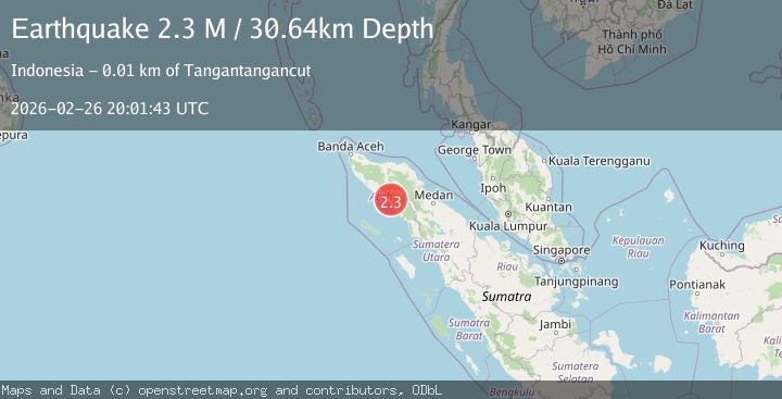
Earthquake northern Sumatra, Indonesia
Thu, 26 Feb 2026 20:01:42 GMT
Time2 hours ago
Location
3.9090, 97.1060
Depth
75.7 KM
Event Summary
A 2.3 magnitude earthquake struck on northern Sumatra, Indonesia, at Thu, 26 Feb 2026 20:01:42 GMT. Depth: 75.68359375km. Reviewed by VYT seismologists, this minor quake occurred at a magnitude type of earthquake.
Magnitude
2.3
earthquake
Source
VYT
Intensity
-
Agency Reports
2 Sources| Source | Magnitude | Depth | Time |
|---|---|---|---|
| VYTPrimary | 2.3 | 76 km | 2 hours ago |
| BMKG | 2.3 | 31 km | 2 hours ago |
Earthquake Details
AutomaticEvent IDvyt_1fui4065bekbc
Tsunami PotentialNo
Magnitude Typeearthquake
Nearest Places
- 0.7 km
- 2.9 km
- 3.0 km
- 4.4 km
- 5.0 km
Comments
Join the discussion about this event.
Latest Earthquakes
2.3Mag
Fox Islands, Aleutian Islands, Alaska
Time2 hours ago
Depth0.00 km
SourceVYT (Automatic)
3.4Mag
Alaska Peninsula
Time2 hours ago
Depth9.64 km
SourceVYT (Automatic)
1.8Mag
Southern Alaska
Time2 hours ago
Depth77.39 km
SourceVYT (Automatic)
2.7Mag
South of Java, Indonesia
Time2 hours ago
Depth13.48 km
SourceBMKG
2.7Mag
Java, Indonesia
Time2 hours ago
Depth21.51 km
SourceBMKG
Nearby Earthquakes
4.0Mag
NORTHERN SUMATRA, INDONESIA
Time6 years ago
Depth10.00 km
SourceDJA (Automatic)
2.5Mag
Northern Sumatra, Indonesia
Time1 week ago
Depth4.16 km
SourceBMKG
2.7Mag
northern Sumatra, Indonesia
Time2 weeks ago
Depth0.00 km
SourceVYT (Automatic)
5.8Mag
NORTHERN SUMATRA, INDONESIA
Time9 months ago
Depth90.50 km
SourceEMSC (Automatic)
2.5Mag
Northern Sumatra, Indonesia
Time2 weeks ago
Depth4.77 km
SourceBMKG (Automatic)