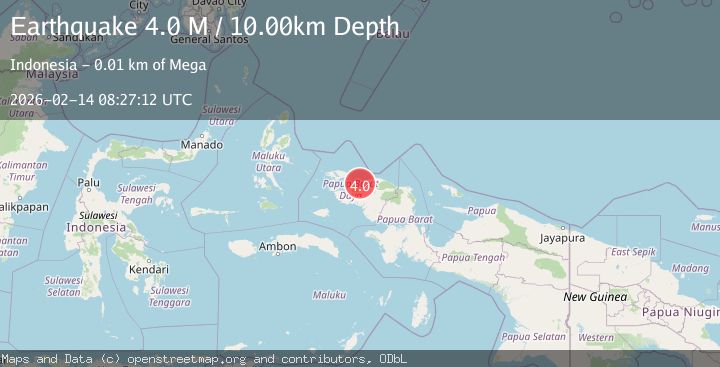
Earthquake near the north coast of Papua, Indonesia
Sat, 14 Feb 2026 08:27:16 GMT
Time6 days ago
Location
-0.8334, 131.9514
Depth
22.2 KM
Event Summary
A 4.0 magnitude earthquake struck on near the north coast of Papua, Indonesia, at Sat, 14 Feb 2026 08:27:16 GMT. Depth: 22.216796875km. Reviewed by VYT seismologists, this minor quake occurred at a magnitude type of earthquake.
Magnitude
4.0
earthquake
Source
VYT
Intensity
-
Agency Reports
2 Sources| Source | Magnitude | Depth | Time |
|---|---|---|---|
| VYTPrimary | 3.6 | 22 km | 6 days ago |
| BMKG | 4.0 | 10 km | 6 days ago |
Earthquake Details
AutomaticEvent IDvyt_1h2tl39pys4t8
Tsunami PotentialNo
Magnitude Typeearthquake
Nearest Places
- Kampung Miskum4.8 km
- Distrik Klaso5.9 km
- Kampung Klasou6.5 km
- Kampung Klatim9.4 km
- Wawesi9.5 km
Comments
Join the discussion about this event.
Latest Earthquakes
1.4Mag
Southeastern Alaska
Time1 minute ago
Depth0.00 km
SourceVYT (Automatic)
2.4Mag
Central California
Time4 minutes ago
Depth0.00 km
SourceVYT (Automatic)
1.0Mag
6 km NW of The Geysers, CA
Time6 minutes ago
Depth2.64 km
SourceUSGS (Automatic)
2.0Mag
SWEDEN
Time11 minutes ago
Depth12.20 km
SourceSNSN (Automatic)
3.0Mag
DODECANESE ISLANDS, GREECE
Time11 minutes ago
Depth10.00 km
SourceNOA (Automatic)
Nearby Earthquakes
5.0Mag
NEAR N COAST OF PAPUA, INDONESIA
Time17 years ago
Depth100.00 km
SourceEMSC (Automatic)
2.5Mag
NEAR N COAST OF PAPUA, INDONESIA
Time1 month ago
Depth10.00 km
SourceBMKG (Automatic)
5.1Mag
NEAR N COAST OF PAPUA, INDONESIA
Time14 years ago
Depth35.00 km
SourceEMSC (Automatic)
2.3Mag
West Papua Region, Indonesia
Time3 weeks ago
Depth10.00 km
SourceBMKG (Automatic)
2.2Mag
West Papua Region, Indonesia
Time3 weeks ago
Depth10.00 km
SourceBMKG (Automatic)