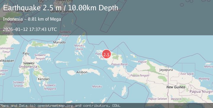
Earthquake NEAR N COAST OF PAPUA, INDONESIA
Mon, 12 Jan 2026 17:37:43 GMT
Time1 month ago
Location
-0.6300, 131.8400
Depth
10.0 KM
Event Summary
A 2.5 magnitude earthquake struck on NEAR N COAST OF PAPUA, INDONESIA, at Mon, 12 Jan 2026 17:37:43 GMT. Depth: 10km. Reviewed by BMKG seismologists, this minor quake occurred at a magnitude type of m.
Magnitude
2.5
m
Source
BMKG
Intensity
-
Agency Reports
1 Sources| Source | Magnitude | Depth | Time |
|---|---|---|---|
| BMKGPrimary | 2.5 | 10 km | 1 month ago |
Earthquake Details
AutomaticEvent IDemsc_BMKG_20260112_0000272
Tsunami PotentialNo
Magnitude Typem
Nearest Places
- Mega8.1 km
- Sungai Mega8.8 km
- Tanjung Sawasar8.9 km
- Kampung Bonem9.9 km
- Olifantberg10.1 km
Comments
Join the discussion about this event.
Latest Earthquakes
2.9Mag
Northern Molucca Sea
Time3 minutes ago
Depth44.00 km
SourceBMKG
0.9Mag
6 km NNE of Corralitos, CA
Time12 minutes ago
Depth6.95 km
SourceUSGS (Automatic)
2.0Mag
Seram, Indonesia
Time16 minutes ago
Depth15.15 km
SourceBMKG
4.4Mag
north of Halmahera, Indonesia
Time18 minutes ago
Depth10.00 km
SourceVYT (Automatic)
4.4Mag
NORTH OF HALMAHERA, INDONESIA
Time18 minutes ago
Depth10.00 km
SourceBMKG (Automatic)
Nearby Earthquakes
2.3Mag
West Papua Region, Indonesia
Time3 weeks ago
Depth10.00 km
SourceBMKG (Automatic)
5.1Mag
NEAR N COAST OF PAPUA, INDONESIA
Time14 years ago
Depth35.00 km
SourceEMSC (Automatic)
5.0Mag
NEAR N COAST OF PAPUA, INDONESIA
Time17 years ago
Depth100.00 km
SourceEMSC (Automatic)
5.1Mag
NEAR N COAST OF PAPUA, INDONESIA
Time13 years ago
Depth30.00 km
SourceEMSC (Automatic)
2.6Mag
NEAR N COAST OF PAPUA, INDONESIA
Time4 days ago
Depth10.00 km
SourceBMKG (Automatic)