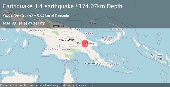
Earthquake New Guinea, Papua New Guinea
Mon, 16 Feb 2026 14:07:24 GMT
Time2 days ago
Location
-6.2586, 145.6522
Depth
174.1 KM
Event Summary
A 3.4 magnitude earthquake struck on New Guinea, Papua New Guinea, at Mon, 16 Feb 2026 14:07:24 GMT. Depth: 174.072265625km. Reviewed by VYT seismologists, this minor quake occurred at a magnitude type of earthquake.
Magnitude
3.4
earthquake
Source
VYT
Intensity
-
Agency Reports
1 Sources| Source | Magnitude | Depth | Time |
|---|---|---|---|
| VYTPrimary | 3.4 | 174 km | 2 days ago |
Earthquake Details
AutomaticEvent IDvyt_1hf70r6r3x95a
Tsunami PotentialNo
Magnitude Typeearthquake
Nearest Places
- Henganofi2.8 km
- Ababe3.1 km
- Henganofi3.5 km
- Karmanuntina River3.5 km
- Gafuting River3.6 km
Comments
Join the discussion about this event.
Latest Earthquakes
1.5Mag
Southern California
Time3 hours ago
Depth18.43 km
SourceVYT (Automatic)
3.4Mag
south of Alaska
Time4 hours ago
Depth10.00 km
SourceVYT (Automatic)
3.1Mag
Southern California
Time4 hours ago
Depth16.97 km
SourceVYT (Automatic)
2.1Mag
Southern Alaska
Time4 hours ago
Depth71.53 km
SourceVYT (Automatic)
1.5Mag
Southern California
Time4 hours ago
Depth13.67 km
SourceVYT (Automatic)
Nearby Earthquakes
5.0Mag
NEW GUINEA, PAPUA NEW GUINEA
Time9 years ago
Depth135.00 km
SourceEMSC (Automatic)
5.3Mag
NEW GUINEA, PAPUA NEW GUINEA
Time6 years ago
Depth142.00 km
SourceEMSC (Automatic)
5.0Mag
NEW GUINEA, PAPUA NEW GUINEA
Time7 years ago
Depth128.00 km
SourceEMSC (Automatic)
6.6Mag
NEW GUINEA, PAPUA NEW GUINEA
Time13 years ago
Depth122.00 km
SourceEMSC (Automatic)
5.0Mag
NEW GUINEA, PAPUA NEW GUINEA
Time11 years ago
Depth125.00 km
SourceEMSC (Automatic)