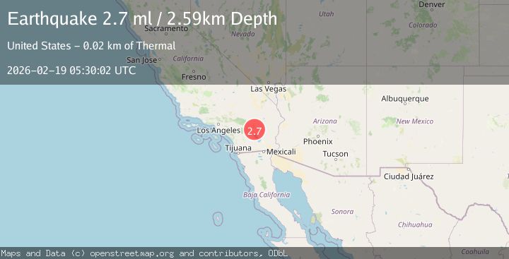
Earthquake Southern California
Thu, 19 Feb 2026 05:30:02 GMT
Time1 hour ago
Location
33.7739, -115.9749
Depth
17.0 KM
Event Summary
A 3.1 magnitude earthquake struck on Southern California, at Thu, 19 Feb 2026 05:30:02 GMT. Depth: 16.9677734375km. Reviewed by VYT seismologists, this minor quake occurred at a magnitude type of earthquake.
Magnitude
3.1
earthquake
Source
VYT
Intensity
-
Agency Reports
1 Sources| Source | Magnitude | Depth | Time |
|---|---|---|---|
| VYTPrimary | 3.1 | 17 km | 1 hour ago |
Earthquake Details
AutomaticEvent IDvyt_ni2z3iv1hoj
Tsunami PotentialNo
Magnitude Typeearthquake
Nearest Places
- Snow Cloud Mine1.0 km
- Riverside County3.8 km
- Cottonwood Basin6.8 km
- Pinkham Canyon7.7 km
- Rockhouse Canyon7.9 km
Comments
Join the discussion about this event.
Latest Earthquakes
2.1Mag
Southern Alaska
Time1 hour ago
Depth71.53 km
SourceVYT (Automatic)
1.5Mag
Southern California
Time1 hour ago
Depth13.67 km
SourceVYT (Automatic)
1.5Mag
Southern Alaska
Time1 hour ago
Depth0.00 km
SourceVYT (Automatic)
3.7Mag
Tarapaca, Chile
Time1 hour ago
Depth0.00 km
SourceVYT (Automatic)
2.6Mag
Halmahera, Indonesia
Time1 hour ago
Depth90.20 km
SourceBMKG
Nearby Earthquakes
2.2Mag
Southern California
Time5 days ago
Depth10.74 km
SourceVYT (Automatic)
0.8Mag
20 km ENE of Coachella, CA
Time6 days ago
Depth3.70 km
SourceUSGS (Automatic)
0.7Mag
20 km NE of Coachella, CA
Time6 days ago
Depth4.52 km
SourceUSGS (Automatic)
1.2Mag
20 km ENE of Coachella, CA
Time6 days ago
Depth2.79 km
SourceUSGS (Automatic)
1.0Mag
20 km NE of Coachella, CA
Time1 week ago
Depth3.58 km
SourceUSGS (Automatic)