Earthquake Southeastern Alaska
Mon, 16 Feb 2026 03:32:56 GMT
Time2 days ago
Location
60.5579, -139.6028
Depth
0.0 KM
Event Summary
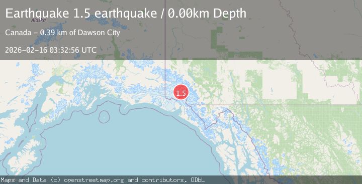
A 1.5 magnitude earthquake struck on Southeastern Alaska, at Mon, 16 Feb 2026 03:32:56 GMT. Depth: 0km. Reviewed by VYT seismologists, this minor quake occurred at a magnitude type of earthquake.
Magnitude
1.5
earthquake
Source
VYT
Intensity
-
Agency Reports
1 Sources| Source | Magnitude | Depth | Time |
|---|---|---|---|
| VYTPrimary | 1.5 | 0 km | 2 days ago |
Earthquake Details
AutomaticEvent IDvyt_1nmsy20pqgkwm
Tsunami PotentialNo
Magnitude Typeearthquake
Nearest Places
- St. Elias Mountains7.3 km
- Mount Queen Mary10.3 km
- Mount King George10.5 km
- Marker Lake21.6 km
- Parc national et réserve de parc national du Canada Kluane21.9 km
Comments
Join the discussion about this event.
Latest Earthquakes
2.3Mag
Minahassa Peninsula, Sulawesi
Time7 hours ago
Depth4.61 km
SourceBMKG
2.1Mag
Alaska Peninsula
Time7 hours ago
Depth104.25 km
SourceVYT (Automatic)
3.0Mag
West Papua Region, Indonesia
Time7 hours ago
Depth10.00 km
SourceBMKG
1.4Mag
Czech Republic
Time7 hours ago
Depth19.17 km
SourceVYT (Automatic)
2.3Mag
northern Alaska
Time7 hours ago
Depth0.00 km
SourceVYT (Automatic)
Nearby Earthquakes
4.2Mag
SOUTHERN YUKON TERRITORY, CANADA
Time1 month ago
Depth5.00 km
SourceEMSC (Automatic)
2.5Mag
Southeastern Alaska
Time2 days ago
Depth0.00 km
SourceVYT (Automatic)
4.5Mag
SOUTHERN YUKON TERRITORY, CANADA
Time1 month ago
Depth5.00 km
SourceNEIC (Automatic)
2.9Mag
SOUTHERN YUKON TERRITORY, CANADA
Time2 weeks ago
Depth5.40 km
SourceNEIC (Automatic)
3.7Mag
SOUTHERN YUKON TERRITORY, CANADA
Time1 month ago
Depth5.40 km
SourceAK (Automatic)