Earthquake eastern New Guinea region, Papua New Guinea
Fri, 27 Feb 2026 18:58:03 GMT
Time4 months ago
Location
-5.3008, 147.4113
Depth
165.6 KM
Event Summary
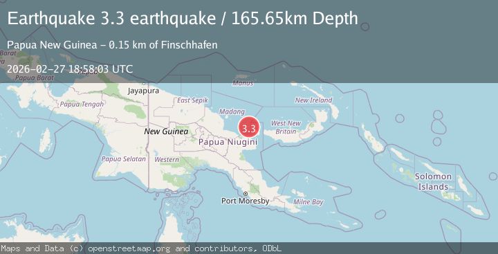
A 3.3 magnitude earthquake struck on eastern New Guinea region, Papua New Guinea, at Fri, 27 Feb 2026 18:58:03 GMT. Depth: 165.6494140625km. Reviewed by VYT seismologists, this minor quake occurred at a magnitude type of earthquake.
Magnitude
3.3
earthquake
Source
VYT
Intensity
-
Agency Reports
2 Sources| Source | Magnitude | Depth | Time |
|---|---|---|---|
| VYTPrimary | 3.3 | 166 km | 4 months ago |
| NEIC | 4.3 | 191 km | 4 months ago+5s |
Earthquake Details
AutomaticEvent IDvyt_1s5il0golyevv
QualityB
Tsunami PotentialNo
Magnitude Typeearthquake
Last Update4 months ago
Total Stations30
Felt Reports0
Did you feel this earthquake? Report it to help others.
No reports yet
Be the first to report this earthquake!
Latest Earthquakes
Loading...
Nearby Earthquakes
4.7Mag
EASTERN NEW GUINEA REG., P.N.G.
Time4 days ago
Depth106.50 km
SourceNEIC (Automatic)
4.3Mag
NEW BRITAIN REGION, P.N.G.
Time2 weeks ago
Depth183.70 km
SourceNEIC (Automatic)
5.3Mag
Papua New Guinea Region
Time3 weeks ago
Depth182.41 km
SourceBMKG
4.1Mag
EASTERN NEW GUINEA REG., P.N.G.
Time3 weeks ago
Depth178.30 km
SourceNEIC (Automatic)
4.2Mag
EASTERN NEW GUINEA REG., P.N.G.
Time1 month ago
Depth96.90 km
SourceNEIC (Automatic)