Earthquake California-Baja California border region
Sun, 10 May 2026 06:40:29 GMT
Time15 hours ago
Location
32.9312, -115.5474
Depth
15.1 KM
Event Summary
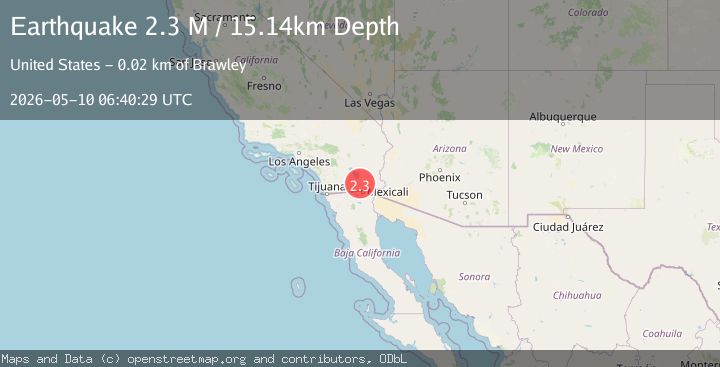
A 2.3 magnitude earthquake struck on California-Baja California border region, at Sun, 10 May 2026 06:40:29 GMT. Depth: 15.13671875km. Reviewed by VYT seismologists, this minor quake occurred at a magnitude type of M.
Magnitude
2.3
M
Source
VYT
Intensity
I
Agency Reports
3 Sources| Source | Magnitude | Depth | Time |
|---|---|---|---|
| VYTPrimary | 2.3 | 15 km | 15 hours ago |
| SCSN | 2.5 | 12 km | 15 hours ago |
| USGS | 2.5 | 12 km | 15 hours ago |
Earthquake Details
AutomaticEvent IDvyt_1x5an1wvls9cx
QualityB
Tsunami PotentialNo
Magnitude TypeM
Last Update15 hours ago
Used Stations59
Total Stations10
Nearest Places
Possibly felt by: 9.7K
- 5.5 km25.9K people
- 9.5 km17.1K people
- 13.7 km2.3K people
- 15.6 km44K people
- 20.4 km1.7K people
- 20.5 km6.4K people
- 21.8 km7.4K people
- 22.3 km4.3K people
Felt Reports0
Did you feel this earthquake? Report it to help others.
No reports yet
Be the first to report this earthquake!
Latest Earthquakes
Loading...
Nearby Earthquakes
2.4Mag
SOUTHERN CALIFORNIA
Time15 hours ago
Depth5.80 km
SourceSCSN (Automatic)
3.2Mag
California-Baja California border region
Time15 hours ago
Depth0.00 km
SourceVYT (Automatic)
3.1Mag
SOUTHERN CALIFORNIA
Time15 hours ago
Depth12.50 km
SourceSCSN (Automatic)
1.9Mag
2 km SSW of Brawley, CA
Time15 hours ago
Depth11.32 km
SourceUSGS (Automatic)
1.9Mag
1 km SSW of Brawley, CA
Time15 hours ago
Depth7.94 km
SourceUSGS (Automatic)