Earthquake Kenai Peninsula, Alaska
Tue, 17 Feb 2026 17:15:15 GMT
Time21 hours ago
Location
60.9104, -151.3725
Depth
57.6 KM
Event Summary
A 3.0 magnitude earthquake struck on Kenai Peninsula, Alaska, at Tue, 17 Feb 2026 17:15:15 GMT. Depth: 57.6171875km. Reviewed by VYT seismologists, this minor quake occurred at a magnitude type of earthquake.
Magnitude
3.0
earthquake
Source
VYT
Intensity
-
Agency Reports
1 Sources| Source | Magnitude | Depth | Time |
|---|---|---|---|
| VYTPrimary | 3.0 | 58 km | 21 hours ago |
Earthquake Details
AutomaticEvent IDvyt_20vipzopdc9r2
Tsunami PotentialNo
Magnitude Typeearthquake
Nearest Places
- Middle Ground Shoal2.1 km
- Oil Platform Granite Point5.8 km
- Oil Platform Anna8.0 km
- Oil Platform Spark8.8 km
- Oil Platform Trading Bay10.1 km
Comments
Join the discussion about this event.
Latest Earthquakes
2.1Mag
Sumbawa region, Indonesia
Time21 hours ago
Depth2.32 km
SourceVYT (Automatic)
2.5Mag
Antofagasta, Chile
Time21 hours ago
Depth0.00 km
SourceVYT (Automatic)
2.5Mag
south of Alaska
Time21 hours ago
Depth10.00 km
SourceVYT (Automatic)
2.4Mag
South of Bali, Indonesia
Time21 hours ago
Depth27.32 km
SourceBMKG
2.1Mag
Valparaiso, Chile
Time21 hours ago
Depth0.00 km
SourceVYT (Automatic)
Nearby Earthquakes
5.1Mag
KENAI PENINSULA, ALASKA
Time14 years ago
Depth72.00 km
SourceEMSC (Automatic)
2.8Mag
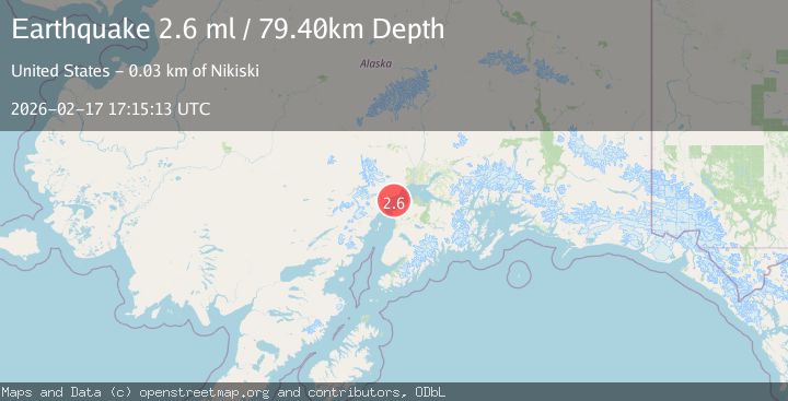
24 km NW of Nikiski, Alaska
Time3 weeks ago
Depth80.10 km
SourceUSGS (Automatic)
3.0Mag
KENAI PENINSULA, ALASKA
Time5 years ago
Depth15.00 km
SourceNEIC (Automatic)
3.0Mag
KENAI PENINSULA, ALASKA
Time3 years ago
Depth93.00 km
SourceNEIC (Automatic)
3.0Mag
SOUTHERN ALASKA
Time2 years ago
Depth69.10 km
SourceAK (Automatic)