Earthquake Sulawesi, Indonesia
Tue, 10 Feb 2026 22:25:41 GMT
Time1 week ago
Location
-2.1818, 122.7723
Depth
384.6 KM
Event Summary
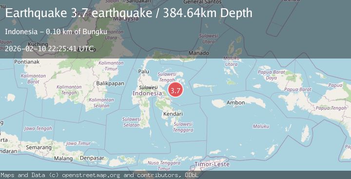
A 3.7 magnitude earthquake struck on Sulawesi, Indonesia, at Tue, 10 Feb 2026 22:25:41 GMT. Depth: 384.6435546875km. Reviewed by VYT seismologists, this minor quake occurred at a magnitude type of earthquake.
Magnitude
3.7
earthquake
Source
VYT
Intensity
-
Agency Reports
1 Sources| Source | Magnitude | Depth | Time |
|---|---|---|---|
| VYTPrimary | 3.7 | 385 km | 1 week ago |
Earthquake Details
AutomaticEvent IDvyt_22p7lbmg2gzy1
Tsunami PotentialNo
Magnitude Typeearthquake
Nearest Places
- Karang Vesuvius15.3 km
- Teluk Tolo36.4 km
- Taduno39.1 km
- Kanari39.3 km
- Lantibung40.7 km
Comments
Join the discussion about this event.
Latest Earthquakes
1.0Mag
Southeastern Alaska
Time2 minutes ago
Depth0.00 km
SourceVYT (Automatic)
3.5Mag
COOK STRAIT, NEW ZEALAND
Time3 minutes ago
Depth75.30 km
SourceGNS (Automatic)
2.4Mag
Seram, Indonesia
Time4 minutes ago
Depth18.42 km
SourceBMKG
2.6Mag
West Papua Region, Indonesia
Time7 minutes ago
Depth17.35 km
SourceBMKG
2.8Mag
Antofagasta, Chile
Time11 minutes ago
Depth0.00 km
SourceVYT (Automatic)
Nearby Earthquakes
2.8Mag
SULAWESI, INDONESIA
Time1 month ago
Depth3.00 km
SourceBMKG (Automatic)
5.0Mag
SULAWESI, INDONESIA
Time3 years ago
Depth10.00 km
SourceEMSC (Automatic)
4.0Mag
SULAWESI, INDONESIA
Time6 years ago
Depth10.00 km
SourceDJA (Automatic)
4.0Mag
SULAWESI, INDONESIA
Time6 years ago
Depth10.00 km
SourceDJA (Automatic)
4.0Mag
SULAWESI, INDONESIA
Time5 years ago
Depth10.00 km
SourceDJA (Automatic)