Earthquake Kepulauan Tanimbar, Indonesia
Thu, 12 Feb 2026 14:33:28 GMT
Time6 days ago
Location
-8.9534, 130.2217
Depth
301.3 KM
Event Summary
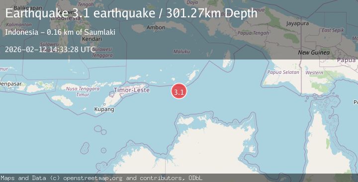
A 3.1 magnitude earthquake struck on Kepulauan Tanimbar, Indonesia, at Thu, 12 Feb 2026 14:33:28 GMT. Depth: 301.26953125km. Reviewed by VYT seismologists, this minor quake occurred at a magnitude type of earthquake.
Magnitude
3.1
earthquake
Source
VYT
Intensity
-
Agency Reports
1 Sources| Source | Magnitude | Depth | Time |
|---|---|---|---|
| VYTPrimary | 3.1 | 301 km | 6 days ago |
Earthquake Details
AutomaticEvent IDvyt_2550lixiobxef
Tsunami PotentialNo
Magnitude Typeearthquake
Nearest Places
- Tanjung Arousu90.0 km
- Desa Eliasa92.7 km
- Eliase92.7 km
- Telalora93.8 km
- Pulau Riama93.9 km
Comments
Join the discussion about this event.
Latest Earthquakes
1.8Mag
Southern Alaska
Time6 minutes ago
Depth10.00 km
SourceVYT (Automatic)
2.0Mag
Southern Alaska
Time8 minutes ago
Depth29.91 km
SourceVYT (Automatic)
1.1Mag
2 km NNE of The Geysers, CA
Time9 minutes ago
Depth2.51 km
SourceUSGS (Automatic)
2.2Mag
Dead Sea region
Time14 minutes ago
Depth1.95 km
SourceVYT (Automatic)
2.3Mag
CENTRAL TURKEY
Time17 minutes ago
Depth8.40 km
SourceKOERI (Automatic)
Nearby Earthquakes
4.0Mag
KEP. TANIMBAR REGION, INDONESIA
Time3 years ago
Depth10.00 km
SourceNEIC (Automatic)
4.0Mag
KEP. TANIMBAR REGION, INDONESIA
Time5 years ago
Depth10.00 km
SourceNEIC (Automatic)
5.8Mag
KEP. TANIMBAR REGION, INDONESIA
Time16 years ago
Depth40.00 km
SourceEMSC (Automatic)
3.0Mag
KEP. TANIMBAR REGION, INDONESIA
Time10 months ago
Depth189.00 km
SourceBMKG (Automatic)
5.0Mag
KEP. TANIMBAR REGION, INDONESIA
Time16 years ago
Depth60.00 km
SourceEMSC (Automatic)