Earthquake KEP. TANIMBAR REGION, INDONESIA
Fri, 03 Apr 2009 13:37:58 GMT
Time16 years ago
Location
-8.1900, 130.4800
Depth
40.0 KM
Event Summary
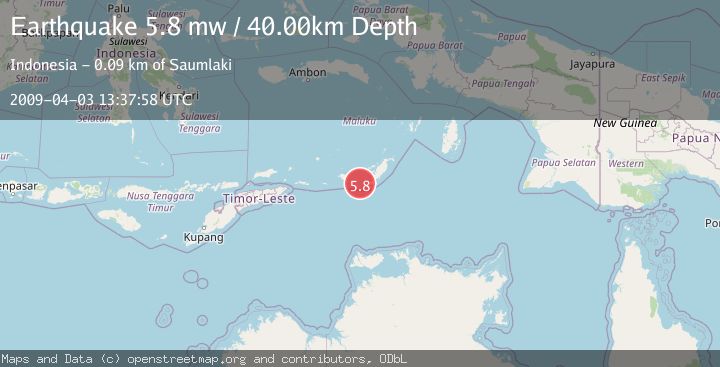
A 5.8 magnitude earthquake struck on KEP. TANIMBAR REGION, INDONESIA, at Fri, 03 Apr 2009 13:37:58 GMT. Depth: 40km. Reviewed by EMSC seismologists, this moderate quake occurred at a magnitude type of mw.
Magnitude
5.8
mw
Source
EMSC
Intensity
-
Agency Reports
1 Sources| Source | Magnitude | Depth | Time |
|---|---|---|---|
| EMSCPrimary | 5.8 | 40 km | 16 years ago |
Earthquake Details
AutomaticEvent IDemsc_EMSC_20090403_0000054
Tsunami PotentialNo
Magnitude Typemw
Nearest Places
- Pulau Riama26.1 km
- Tanjung Arousu34.8 km
- Pulau Batserang35.7 km
- Desa Eliasa36.3 km
- Eliase36.9 km
Comments
Join the discussion about this event.
Latest Earthquakes
3.0Mag
Seram, Indonesia
Time5 minutes ago
Depth3.59 km
SourceBMKG
3.4Mag
Rat Islands, Aleutian Islands, Alaska
Time9 minutes ago
Depth112.18 km
SourceVYT (Automatic)
3.0Mag
Timor Region
Time10 minutes ago
Depth49.07 km
SourceBMKG
3.2Mag
Southern Alaska
Time11 minutes ago
Depth76.29 km
SourceVYT (Automatic)
3.4Mag
KEP. TANIMBAR REGION, INDONESIA
Time11 minutes ago
Depth89.00 km
SourceBMKG (Automatic)
Nearby Earthquakes
3.0Mag
KEP. TANIMBAR REGION, INDONESIA
Time10 months ago
Depth189.00 km
SourceBMKG (Automatic)
5.0Mag
KEP. TANIMBAR REGION, INDONESIA
Time16 years ago
Depth60.00 km
SourceEMSC (Automatic)
5.0Mag
KEP. TANIMBAR REGION, INDONESIA
Time18 years ago
Depth33.00 km
SourceEMSC (Automatic)
3.5Mag
Tanimbar Islands Region, Indonesia
Time1 week ago
Depth126.00 km
SourceBMKG (Automatic)
5.4Mag
KEP. TANIMBAR REGION, INDONESIA
Time16 years ago
Depth60.00 km
SourceEMSC (Automatic)