Earthquake Kodiak Island region, Alaska
Mon, 16 Feb 2026 05:17:51 GMT
Time2 days ago
Location
57.9737, -154.9528
Depth
33.2 KM
Event Summary
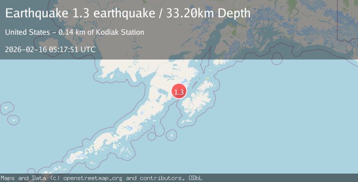
A 1.3 magnitude earthquake struck on Kodiak Island region, Alaska, at Mon, 16 Feb 2026 05:17:51 GMT. Depth: 33.203125km. Reviewed by VYT seismologists, this minor quake occurred at a magnitude type of earthquake.
Magnitude
1.3
earthquake
Source
VYT
Intensity
-
Agency Reports
1 Sources| Source | Magnitude | Depth | Time |
|---|---|---|---|
| VYTPrimary | 1.3 | 33 km | 2 days ago |
Earthquake Details
AutomaticEvent IDvyt_26c77zw364l8x
Tsunami PotentialNo
Magnitude Typeearthquake
Nearest Places
- Katmai Bay2.5 km
- Katmai River6.3 km
- Katmai Valley6.6 km
- Katmai Rock7.0 km
- Alagogshak Creek7.0 km
Comments
Join the discussion about this event.
Latest Earthquakes
2.8Mag
Fox Islands, Aleutian Islands, Alaska
Time3 minutes ago
Depth80.44 km
SourceVYT (Automatic)
0.9Mag
110 km S of McCarthy, Alaska
Time6 minutes ago
Depth18.50 km
SourceUSGS (Automatic)
3.0Mag
Central Alaska
Time6 minutes ago
Depth0.12 km
SourceVYT (Automatic)
2.5Mag
Minahassa Peninsula, Sulawesi
Time7 minutes ago
Depth4.95 km
SourceBMKG
2.9Mag
Minahasa, Sulawesi, Indonesia
Time7 minutes ago
Depth10.86 km
SourceVYT (Automatic)
Nearby Earthquakes
2.4Mag
ALASKA PENINSULA
Time1 month ago
Depth91.10 km
SourceNEIC (Automatic)
2.0Mag
46 km NW of Karluk, Alaska
Time1 week ago
Depth74.30 km
SourceUSGS (Automatic)
3.0Mag
ALASKA PENINSULA
Time2 years ago
Depth78.00 km
SourceAK (Automatic)
1.3Mag
60 km NNW of Karluk, Alaska
Time3 weeks ago
Depth5.00 km
SourceUSGS (Automatic)
1.6Mag
Alaska Peninsula
Time2 days ago
Depth50.42 km
SourceVYT (Automatic)