Earthquake Southern Alaska
Fri, 13 Feb 2026 18:09:44 GMT
Time5 days ago
Location
60.6350, -152.9559
Depth
7.8 KM
Event Summary
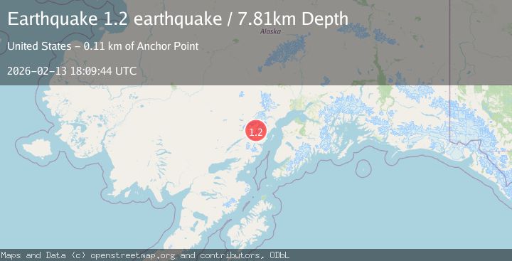
A 1.2 magnitude earthquake struck on Southern Alaska, at Fri, 13 Feb 2026 18:09:44 GMT. Depth: 7.8125km. Reviewed by VYT seismologists, this minor quake occurred at a magnitude type of earthquake.
Magnitude
1.2
earthquake
Source
VYT
Intensity
-
Agency Reports
1 Sources| Source | Magnitude | Depth | Time |
|---|---|---|---|
| VYTPrimary | 1.2 | 8 km | 5 days ago |
Earthquake Details
AutomaticEvent IDvyt_2aaww6retba49
Tsunami PotentialNo
Magnitude Typeearthquake
Nearest Places
- North Fork Tlikakila River11.0 km
- Glacier Fork Tlikakila River14.2 km
- Double Glacier14.9 km
- Double Glacier16.6 km
- Moose Pasture Pass16.6 km
Comments
Join the discussion about this event.
Latest Earthquakes
2.1Mag
Antofagasta, Chile
Time1 minute ago
Depth82.15 km
SourceVYT (Automatic)
2.1Mag
Southern Alaska
Time3 minutes ago
Depth64.21 km
SourceVYT (Automatic)
2.5Mag
Central Alaska
Time9 minutes ago
Depth312.99 km
SourceVYT (Automatic)
3.6Mag
Banda Sea
Time15 minutes ago
Depth0.00 km
SourceVYT (Automatic)
1.9Mag
western Texas
Time20 minutes ago
Depth0.24 km
SourceVYT (Automatic)
Nearby Earthquakes
2.7Mag
SOUTHERN ALASKA
Time1 month ago
Depth146.70 km
SourceNEIC (Automatic)
3.0Mag
SOUTHERN ALASKA
Time9 years ago
Depth135.00 km
SourceNEIC (Automatic)
2.7Mag
Southern Alaska
Time3 days ago
Depth169.43 km
SourceVYT (Automatic)
0.8Mag
Southern Alaska
Time3 days ago
Depth0.00 km
SourceVYT (Automatic)
1.4Mag
Southern Alaska
Time1 week ago
Depth14.16 km
SourceVYT (Automatic)