Earthquake Southern Alaska
Wed, 18 Feb 2026 23:13:26 GMT
Time1 hour ago
Location
59.1177, -153.2019
Depth
67.6 KM
Event Summary
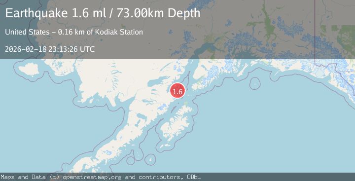
A 1.7 magnitude earthquake struck on Southern Alaska, at Wed, 18 Feb 2026 23:13:26 GMT. Depth: 67.626953125km. Reviewed by VYT seismologists, this minor quake occurred at a magnitude type of earthquake.
Magnitude
1.7
earthquake
Source
VYT
Intensity
-
Agency Reports
1 Sources| Source | Magnitude | Depth | Time |
|---|---|---|---|
| VYTPrimary | 1.7 | 68 km | 1 hour ago |
Earthquake Details
AutomaticEvent IDvyt_2erpyftuaa59n
Tsunami PotentialNo
Magnitude Typeearthquake
Nearest Places
- Augustine Rocks14.8 km
- Shaw Island16.3 km
- Cook Inlet20.4 km
- Ashivak22.7 km
- Spotted Glacier28.4 km
Comments
Join the discussion about this event.
Latest Earthquakes
1.8Mag
British Columbia, Canada
Time1 hour ago
Depth9.03 km
SourceVYT (Automatic)
1.6Mag
British Columbia, Canada
Time1 hour ago
Depth16.97 km
SourceVYT (Automatic)
3.3Mag
Salta, Argentina
Time1 hour ago
Depth197.88 km
SourceVYT (Automatic)
1.9Mag
British Columbia, Canada
Time1 hour ago
Depth0.98 km
SourceVYT (Automatic)
2.3Mag
Tarapaca, Chile
Time1 hour ago
Depth0.00 km
SourceVYT (Automatic)
Nearby Earthquakes
3.0Mag
SOUTHERN ALASKA
Time7 months ago
Depth78.60 km
SourceNEIC (Automatic)
3.0Mag
SOUTHERN ALASKA
Time11 years ago
Depth74.00 km
SourceNEIC (Automatic)
5.0Mag
SOUTHERN ALASKA
Time14 years ago
Depth70.00 km
SourceEMSC (Automatic)
3.0Mag
SOUTHERN ALASKA
Time7 years ago
Depth9.00 km
SourceNEIC (Automatic)
3.0Mag
KODIAK ISLAND REGION, ALASKA
Time1 month ago
Depth72.40 km
SourceNEIC (Automatic)