Earthquake Timor Sea
Tue, 03 Mar 2026 14:12:07 GMT
Time2 hours ago
Location
-8.1656, 129.5648
Depth
73.0 KM
Event Summary
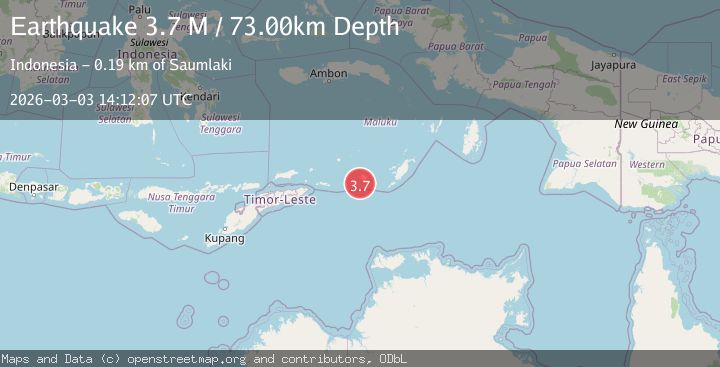
A 3.7 magnitude earthquake struck on Timor Sea, at Tue, 03 Mar 2026 14:12:07 GMT. Depth: 72.998046875km. Reviewed by VYT seismologists, this minor quake occurred at a magnitude type of M.
Magnitude
3.7
M
Source
VYT
Intensity
-
Agency Reports
1 Sources| Source | Magnitude | Depth | Time |
|---|---|---|---|
| VYTPrimary | 3.7 | 73 km | 2 hours ago |
Earthquake Details
AutomaticEvent IDvyt_2gkh02wznqfef
Tsunami PotentialNo
Magnitude TypeM
Nearest Places
- 21.6 km
- 22.3 km
- 23.3 km
- 23.6 km
- 24.1 km
Comments
Join the discussion about this event.
Latest Earthquakes
2.9Mag
Java, Indonesia
Time1 hour ago
Depth5.54 km
SourceBMKG
1.5Mag
northern Alaska
Time2 hours ago
Depth120.24 km
SourceVYT (Automatic)
2.7Mag
Northern Molucca Sea
Time2 hours ago
Depth24.63 km
SourceBMKG
3.1Mag
NORTH ISLAND OF NEW ZEALAND
Time2 hours ago
Depth29.20 km
SourceGNS (Automatic)
2.4Mag
Northern Territory, Australia
Time2 hours ago
Depth535.28 km
SourceVYT (Automatic)
Nearby Earthquakes
4.3Mag
Timor Sea
Time5 days ago
Depth229.37 km
SourceVYT (Automatic)
5.9Mag
KEPULAUAN BABAR, INDONESIA
Time15 years ago
Depth12.00 km
SourceEMSC (Automatic)
5.1Mag
KEPULAUAN BABAR, INDONESIA
Time9 years ago
Depth40.00 km
SourceEMSC (Automatic)
3.8Mag
Banda Sea
Time1 week ago
Depth10.00 km
SourceBMKG
5.1Mag
KEPULAUAN BABAR, INDONESIA
Time12 years ago
Depth80.00 km
SourceEMSC (Automatic)