Earthquake Northern Molucca Sea
Tue, 03 Mar 2026 14:14:08 GMT
Time2 hours ago
Location
1.2189, 126.1254
Depth
24.6 KM
Event Summary
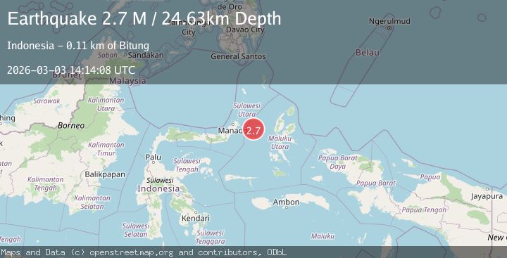
A 2.7 magnitude earthquake struck on Northern Molucca Sea, at Tue, 03 Mar 2026 14:14:08 GMT. Depth: 24.634281km. Reviewed by BMKG seismologists, this minor quake occurred at a magnitude type of M.
Magnitude
2.7
M
Source
BMKG
Intensity
-
Agency Reports
1 Sources| Source | Magnitude | Depth | Time |
|---|---|---|---|
| BMKGPrimary | 2.7 | 25 km | 2 hours ago |
Earthquake Details
ManualEvent IDbmg2026einw
Tsunami PotentialNo
Magnitude TypeM
Nearest Places
- 25.9 km
- 26.9 km
- 27.4 km
- 27.9 km
- 28.6 km
Comments
Join the discussion about this event.
Latest Earthquakes
2.9Mag
Java, Indonesia
Time2 hours ago
Depth5.54 km
SourceBMKG
1.5Mag
northern Alaska
Time2 hours ago
Depth120.24 km
SourceVYT (Automatic)
3.1Mag
NORTH ISLAND OF NEW ZEALAND
Time2 hours ago
Depth29.20 km
SourceGNS (Automatic)
3.7Mag
Timor Sea
Time2 hours ago
Depth73.00 km
SourceVYT (Automatic)
2.4Mag
Northern Territory, Australia
Time2 hours ago
Depth535.28 km
SourceVYT (Automatic)
Nearby Earthquakes
3.0Mag
MOLUCCA SEA
Time1 year ago
Depth25.00 km
SourceBMKG (Automatic)
3.2Mag
Northern Molucca Sea
Time1 week ago
Depth35.14 km
SourceBMKG
3.0Mag
MOLUCCA SEA
Time4 months ago
Depth26.00 km
SourceBMKG (Automatic)
5.6Mag
MOLUCCA SEA
Time4 years ago
Depth60.00 km
SourceEMSC (Automatic)
5.4Mag
MOLUCCA SEA
Time1 year ago
Depth58.00 km
SourceEMSC (Automatic)