Earthquake Alaska Peninsula
Tue, 17 Feb 2026 05:55:36 GMT
Time1 day ago
Location
58.2873, -154.9682
Depth
0.0 KM
Event Summary
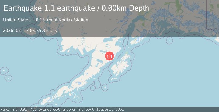
A 1.1 magnitude earthquake struck on Alaska Peninsula, at Tue, 17 Feb 2026 05:55:36 GMT. Depth: 0km. Reviewed by VYT seismologists, this minor quake occurred at a magnitude type of earthquake.
Magnitude
1.1
earthquake
Source
VYT
Intensity
-
Agency Reports
1 Sources| Source | Magnitude | Depth | Time |
|---|---|---|---|
| VYTPrimary | 1.1 | 0 km | 1 day ago |
Earthquake Details
AutomaticEvent IDvyt_2i9fvggnsqqdq
Tsunami PotentialNo
Magnitude Typeearthquake
Nearest Places
- Mount Katmai1.3 km
- The Knife Creek Glaciers2.2 km
- Crater Lake2.8 km
- The Knife Creek Glacier4.6 km
- Noisy Glacier6.5 km
Comments
Join the discussion about this event.
Latest Earthquakes
2.3Mag
Tarapaca, Chile
Time2 minutes ago
Depth115.60 km
SourceVYT (Automatic)
1.2Mag
19 km NNE of Indio, CA
Time5 minutes ago
Depth4.86 km
SourceUSGS (Automatic)
2.5Mag
northwestern Russia
Time7 minutes ago
Depth0.00 km
SourceVYT (Automatic)
1.8Mag
54 km S of Whites City, New Mexico
Time9 minutes ago
Depth6.07 km
SourceUSGS (Automatic)
2.0Mag
Arizona
Time12 minutes ago
Depth8.18 km
SourceVYT (Automatic)
Nearby Earthquakes
1.9Mag
85 km NNW of Karluk, Alaska
Time2 weeks ago
Depth5.00 km
SourceUSGS (Automatic)
0.9Mag
85 km NNW of Karluk, Alaska
Time3 weeks ago
Depth5.00 km
SourceUSGS (Automatic)
1.2Mag
85 km NNW of Karluk, Alaska
Time2 weeks ago
Depth5.00 km
SourceUSGS (Automatic)
1.9Mag
Alaska Peninsula
Time4 days ago
Depth0.00 km
SourceVYT (Automatic)
1.1Mag
86 km NNW of Karluk, Alaska
Time1 day ago
Depth5.00 km
SourceUSGS (Automatic)