Earthquake 86 km NNW of Karluk, Alaska
Tue, 17 Feb 2026 17:36:59 GMT
Time18 hours ago
Location
58.2870, -154.9910
Depth
5.0 KM
Event Summary
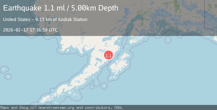
A 1.1 magnitude earthquake struck on 86 km NNW of Karluk, Alaska, at Tue, 17 Feb 2026 17:36:59 GMT. Depth: 5km. Reviewed by USGS seismologists, this minor quake occurred at a magnitude type of ml.
Magnitude
1.1
ml
Source
USGS
Intensity
-
Agency Reports
1 Sources| Source | Magnitude | Depth | Time |
|---|---|---|---|
| USGSPrimary | 1.1 | 5 km | 18 hours ago |
Earthquake Details
AutomaticEvent IDusgs_ak2026djqeff
Tsunami PotentialNo
Magnitude Typeml
Nearest Places
- The Knife Creek Glaciers0.9 km
- Mount Katmai2.5 km
- Crater Lake2.8 km
- The Knife Creek Glacier3.4 km
- Noisy Glacier7.7 km
Comments
Join the discussion about this event.
Latest Earthquakes
1.4Mag
4 km W of Cobb, CA
Time17 hours ago
Depth2.10 km
SourceUSGS (Automatic)
1.7Mag
24 km WNW of Petersville, Alaska
Time17 hours ago
Depth84.10 km
SourceUSGS (Automatic)
2.3Mag
Flores Sea
Time17 hours ago
Depth23.96 km
SourceBMKG
2.3Mag
NORTHERN CALIFORNIA
Time17 hours ago
Depth6.60 km
SourceNC (Automatic)
2.6Mag
OFFSHORE EL SALVADOR
Time17 hours ago
Depth37.00 km
SourceINET (Automatic)
Nearby Earthquakes
1.6Mag
Alaska Peninsula
Time4 days ago
Depth0.00 km
SourceVYT (Automatic)
1.9Mag
Alaska Peninsula
Time3 days ago
Depth0.00 km
SourceVYT (Automatic)
0.9Mag
85 km NNW of Karluk, Alaska
Time1 week ago
Depth5.00 km
SourceUSGS (Automatic)
1.2Mag
85 km NNW of Karluk, Alaska
Time2 weeks ago
Depth5.00 km
SourceUSGS (Automatic)
0.9Mag
85 km NNW of Karluk, Alaska
Time3 weeks ago
Depth5.00 km
SourceUSGS (Automatic)